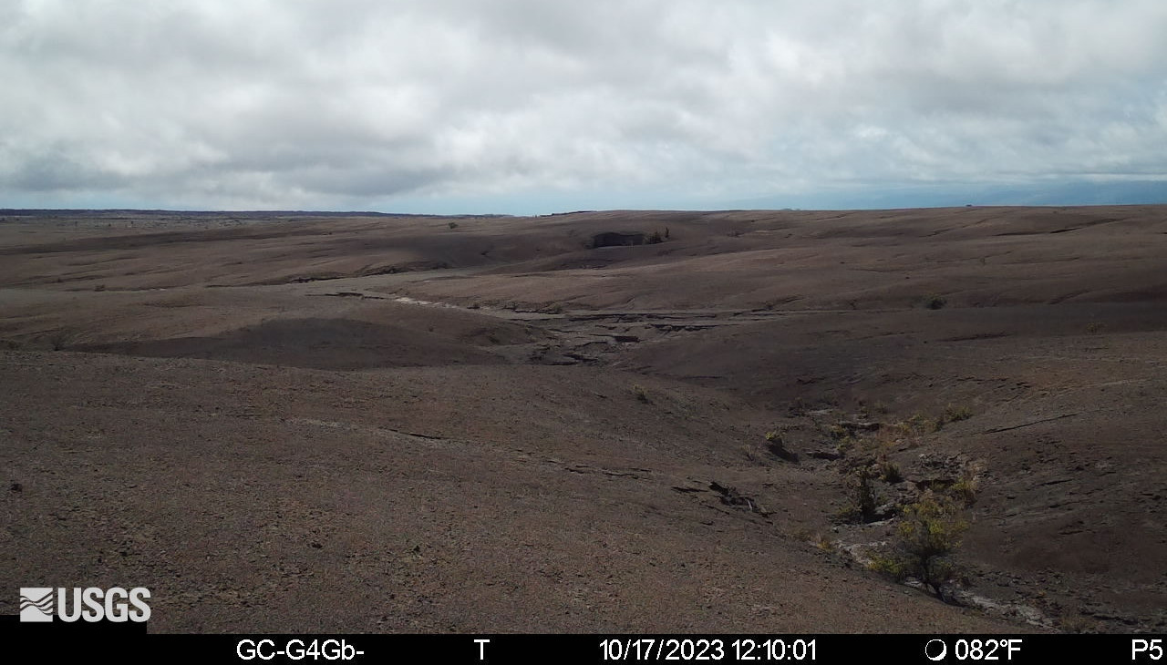
USGS: “Temporary webcam image showing the upper Southwest Rift Zone of Kīlauea volcano. View is from a seismic station south of the summit caldera, looking southwest. The easternmost eruptive fissure from the December 1974 Southwest Rift Zone eruption is on a low hill in the distance at the center of the frame.”
(BIVN) – Just a few days after scientists reported the intrusive event in the area south of the Kīlauea summit caldera was coming to an end, activity in the area has ramped back up.
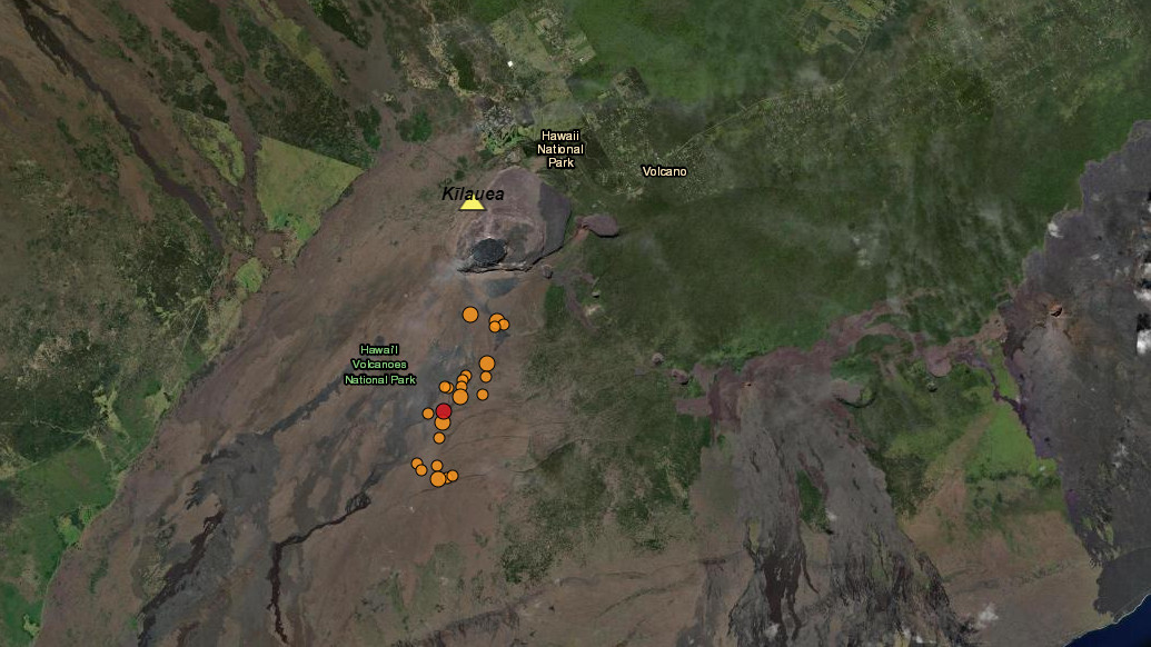
Kīlauea volcano is not erupting, but on Tuesday the USGS Hawaiian Volcano Observatory reported that earthquake rates beneath the southern part of the summit caldera and extending to the southwest have increased over the past day, “suggesting the intrusive event that began last week is not over.”
The uptick comes just a day after Hawaiʻi Volcanoes National Park announced the reopening of an area that had been closed in respose to the elevated activity. As of noon on Tuesday, the areas remains open.
The USGS reported on the renewed intrusive activity on Tuesday:
Summit Observations: The major intrusive event that has been ongoing beneath the area extending from the southern part of Kīlauea caldera southwest to the Koaʻe fault zone appears to ramping back up. An increase in earthquakes, from 23 per day on Monday, to 136 recorded in the past 24 hours. These earthquakes were at depths of 1-5 km (0.6-3 mi) beneath the surface.
Currently, the Uēkahuna summit tiltmeter located north of the caldera recorded very slight inflation over the past 24 hours, in a NE direction. The Sand Hill tiltmeter, located just south of the caldera, is showing an inflationary tilt trend, in NNW direction. Sulfur dioxide (SO2) emission rates remain low and were measured at a rate of about 100 tonnes per day on October 6. Other monitoring data streams, including webcam views, do not show any significant changes.
HVO continues to monitor the summit region of Kīlauea volcano closely.
The USGS Hawaiian Volcano Observatory will continue to issue daily Kīlauea updates, and the Volcano Alert Level remains at ADVISORY.

by Big Island Video News
on at
STORY SUMMARY
HAWAIʻI VOLCANOES NATIONAL PARK - There has been an increase in earthquakes south of the summit caldera, going from 23 per day on Monday, to 136 quakes in the past 24 hours.