
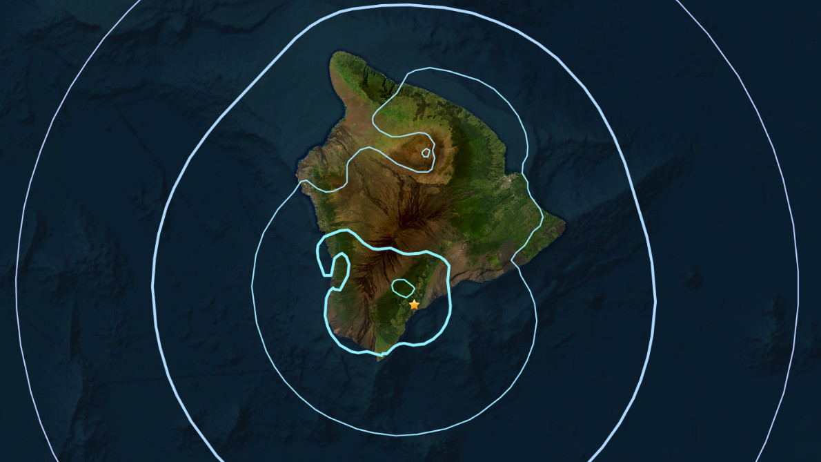

(BIVN) – A magnitude-4.8 earthquake shook Hawaiʻi island from 24 miles below sea level at 1:42 a.m. early Tuesday morning.
The earthquake, located under the Kaʻū region of the Big Island, was not strong enough to trigger a tsunami.
No damage to buildings or infrastructure was expected based on the earthquake’s intensity and depth.
Scientists with the USGS Hawaiian Volcano Observatory said the event was part of the ongoing swarm of deep seismicity that has been occurring beneath the Pāhala area since 2019. The earthquake had no apparent impact on either Mauna Loa or Kīlauea volcanoes, USGS HVO reported.
More than 190 people reported feeling the earthquake within the first half-hour of its occurrence.
Scientists noted that aftershocks are possible in the coming days to weeks.
