
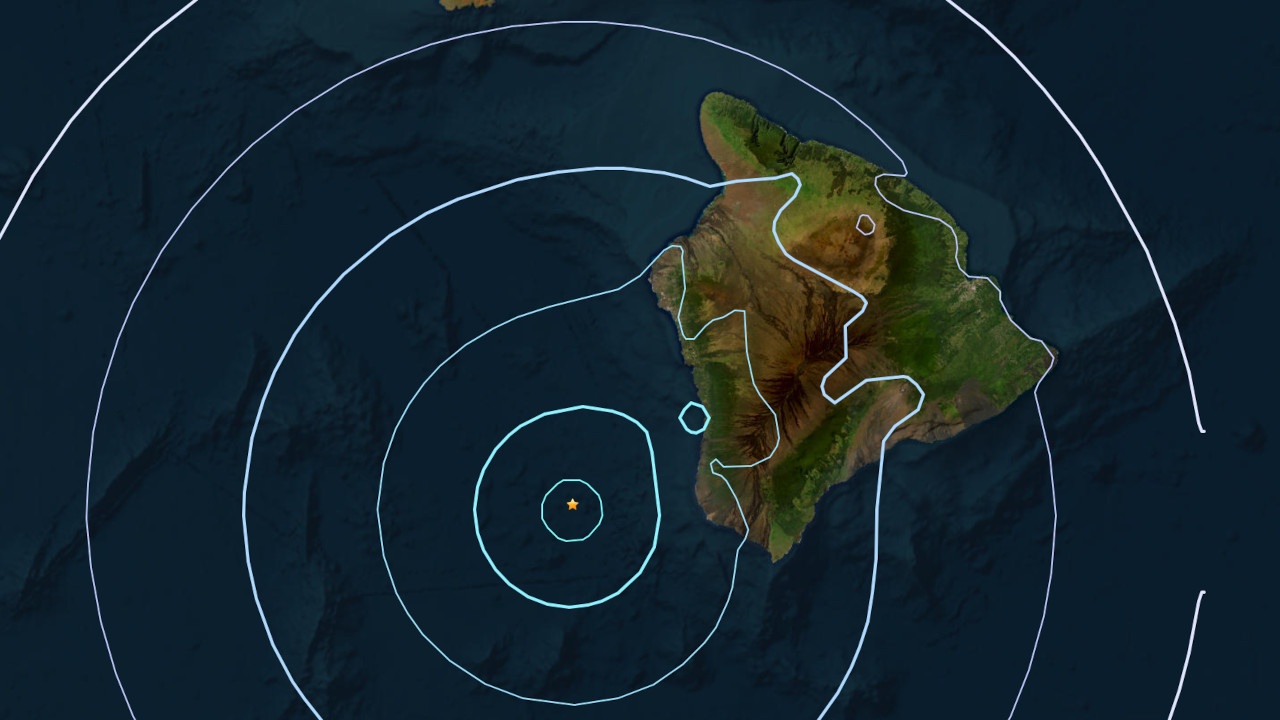

(BIVN) – A magnitude-4.4 earthquake that occurred off the South Kona coast on Friday evening was felt across the Island of Hawaiʻi, but was not strong enough to generate a tsunami.
The earthquake struck at 5:25 p.m. HST, and was located under the ocean, 34 miles (55 km) west of Hawaiian Ocean View Estates, at a depth of 22 miles (36 km) below sea level. No damage was expected due to the event.
The USGS Hawaiian Volcano Observatory reported the earthquake was “a common type related to readjustments of the ocean crust due to the weight of Hawaiʻi Island.”
More than 150 people reported feeling the earthquake within a half hour of the event. Most of the reports were from Hawaiʻi island, but there were also scattered reports from Maui and Oʻahu.
Scientists added that the earthquake had no apparent impact on either Mauna Loa or Kīlauea volcanoes.
