
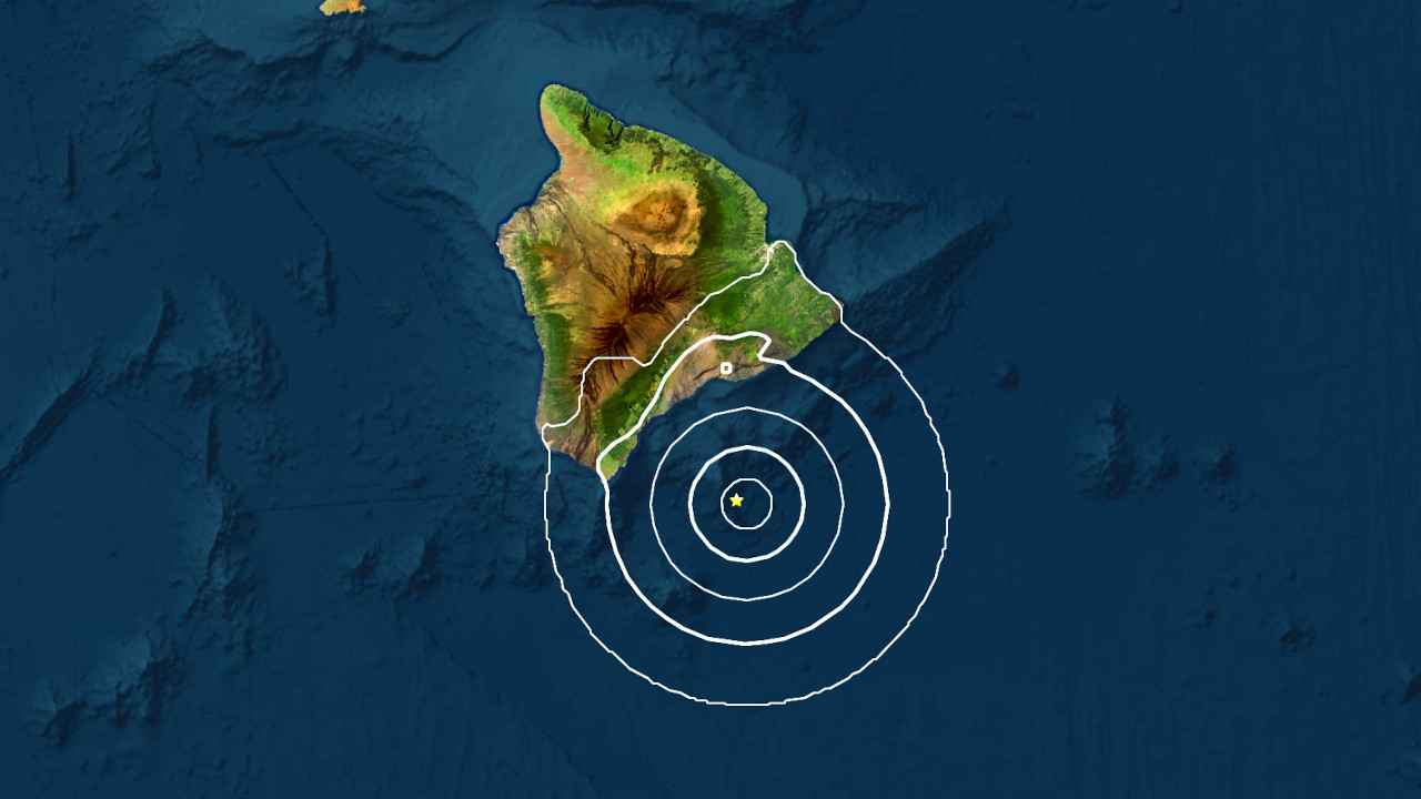

(BIVN) – A magnitude 3.9 earthquake occurred early Monday morning off the southern coast of Hawaiʻi island.
The earthquake occurred at 2:54 a.m. on April 7, and was located offshore, nearly 30 miles east southeast of Naʻalehu in Kaʻū.
There were no felt reports for the event, according to the USGS event information page.
The earthquake was located in the vicinity of Kamaʻehuakanaloa (formerly named Lō‘ihi Seamount), the active volcano built on the seafloor south of Kīlauea. There were a few smaller earthquakes in this area prior to this morning’s magnitude 3.9 event.
