
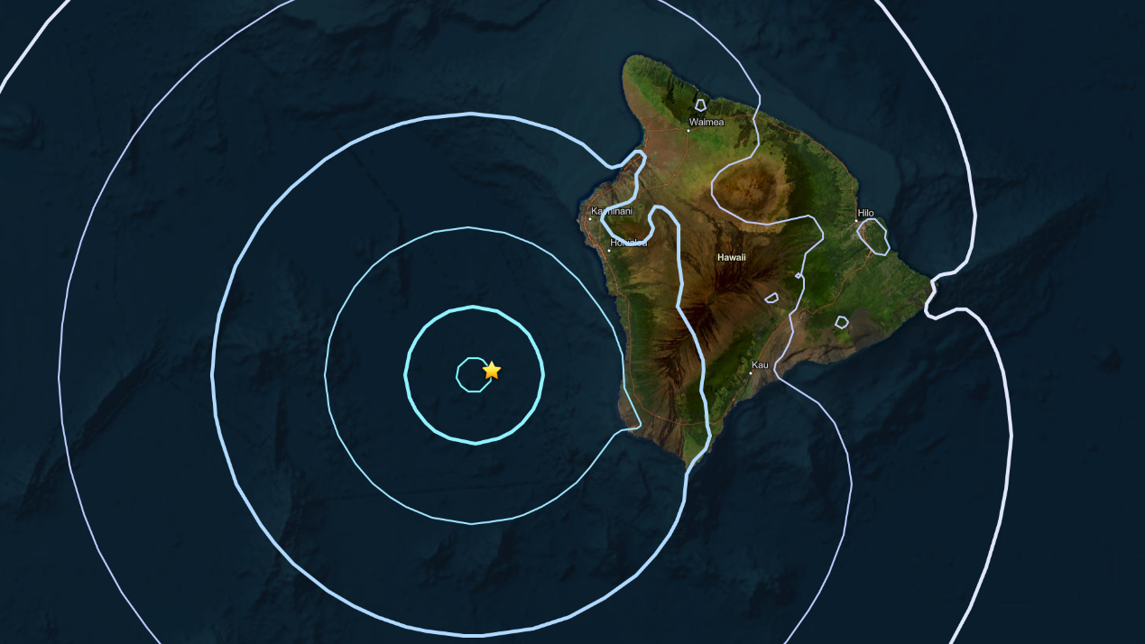

NOTE – (10 p.m.) – The magnitude of this earthquake was first reported as a magnitude-4.6, but later lowered to a magnitude-4.5 after review by scientists.
(BIVN) – A magnitude-4.5 earthquake struck off the west coast of Hawaiʻi island at 8:17 p.m. on Thursday evening.
The earthquake was not strong enough to generate a tsunami, the Pacific Tsunami Warning Center stated.
The earthquake was located about 33 miles (54 km) west southwest of Captain Cook in South Kona, at a depth of about 24 miles (39 km) below sea level. The depth was originally reported as 4.5 miles (7.25 km).
There were over 200 “felt” reports submitted to the USGS within an hour of the event. It was felt across the Big Island.
UPDATE – (10 p.m.) – The USGS Hawaiian Volcano Observatory reported the earthquake had no apparent impact on either Mauna Loa or Kīlauea volcanoes.
“The depth and location of this earthquake indicate it is another lithospheric flexure earthquake related to bending of the ocean crust and upper brittle mantle (the lithosphere) by the weight of the islands,” the Observatory scientists wrote.
