
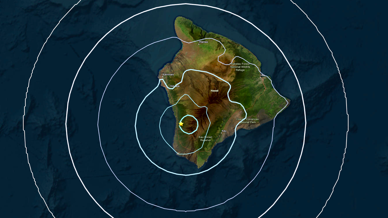

(BIVN) – A magnitude-4.1 earthquake shook the Kona side of Hawaiʻi island on Monday morning.
The earthquake occurred at 9:24 a.m. and was preliminarily located about 10 miles south-southeast of Hōnaunau in South Kona. The preliminary depth was measured at almost 14 miles (23 km).
Initial reports show the earthquake was felt along the North and South Kona coast.
The earthquake appears to be in a similar location as the damaging magnitude-6 earthquake that struck the region on May 22, 2026. The latest earthquake comes as the region is trying to recover from Hurricane Lala, which impacted Hawaiʻi island over the weekend.
UPDATE – (10:30 a.m.) – The USGS Hawaiian Volcano Observatory issued an information statement, saying this event is likely an aftershock of the magnitude-6.0 that occurred on May 22, 2026. “The earthquake had no apparent impact on either Mauna Loa or Kīlauea volcanoes,” the scientists stated.
No damage to buildings or infrastructure expected based on earthquake intensity.
