
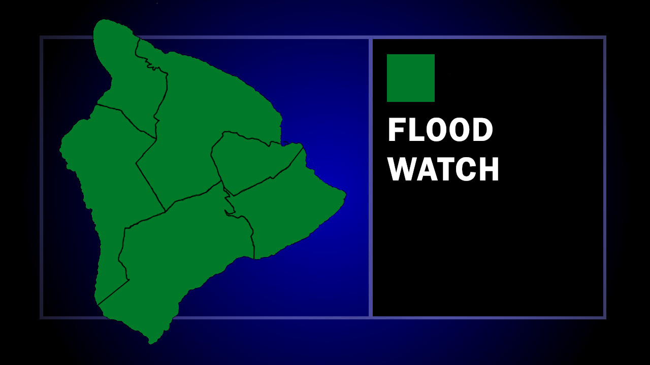

(BIVN) – A Flood Watch remains in effect for Hawaiʻi island, even as Tropical Depression Moke moves away from the Big Island.
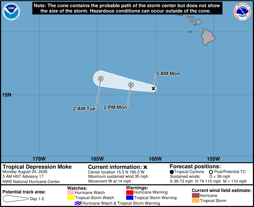
As of 5 a.m. on Monday morning, Moke was located 445 miles southwest of Hilo, moving west at 14 mph. Moisture on the northern periphery of the tropical depression could still bring areas of heavy rain to portions of the Big Island through Monday afternoon.
“Additional rainfall of 2 to 4 inches is possible over the windward and southeast slopes of the Big Island,” stated the National Weather Service at 3 a.m. “It will not take a significant amount of rain to cause flash flooding due to saturated grounds from recent heavy rain.”
From the Central Pacific Hurricane Center at 5 a.m. HST:
Moke continues to be in a disorganized state, with only sporadic bursts of convection in the northern semicircle. A recent OSCAT pass showed maximum winds of about 30 kt in a small area on the northern side of the circulation, so the initial intensity will remain 30 kt on this advisory. The scatterometer pass also showed that the circulation was losing definition and becoming somewhat elongated. Given this structure and the persistent shear plus dry environment, Moke is not likely to hold onto tropical-cyclone status for much longer. Thus the new forecast shows that Moke will dissipate later today, which is consistent with the latest model guidance.
The depression continues moving slightly north of due west at about 12 kt. A strong low- to mid-level ridge should hold firm north of Moke until the cyclone dissipates. The new forecast is similar to the last forecast and is on the southern side of the guidance. Even though Moke is well south of the Hawaiian Islands, periods of heavy rain causing flash flooding are possible across portions of the Big Island today.
