

(BIVN) – A developing tropical system, formerly Tropical Depression Fifteen-E but slated to be named “Nolo” if it develops into a cyclone, is expected to being heavy rains to Hawaiʻi island in the coming days.
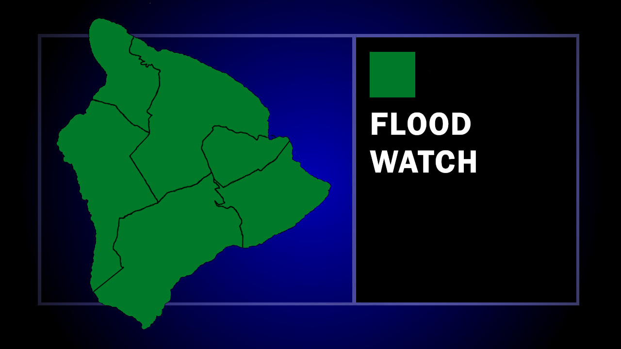
On Tuesday, the National Weather Service confirmed a Flood Watch will be in effect for the counties of Hawaiʻi and Maui, starting on Wednesday afternoon, September 23.
The National Weather Service says “windward and southeast Big Island and windward Maui are the most likely to experience heavy rain,” with very high rainfall rates – which can cause flash flooding – possible within the entire watch area.
“There is a lot of uncertainty in the forecast, but heavy rainfall is expected across Hawaii Island from Wednesday through Friday,” the Hawaiʻi County Civil Defense stated in a Tuesday radio message. “Everyone should take today and tomorrow to prepare your property for possible flooding, especially if you are in a flood prone area.”
Hawaiian Electric says it is monitoring the potential development of Nolo, as it continues to support the Kauaʻi Island Utility Cooperative’s efforts to restore electric service on Kauaʻi in the wake of Hurricane Lowell.
From the National Weather Service at 3:30 p.m. HST:
Ensembles show a wide variety of solutions, with some moving Nolo over part(s) of the state, but most missing a direct landfall. Showers and/or isolated thunderstorms are expected to begin to bring heavy rain, especially to the windward and southeast sections of the Big Island and windward Maui beginning Wednesday. We have issued a Flood Watch for flash flooding, for the Big Island and Maui County from noon Wednesday through 6 PM Saturday. Models continue to show Nolo forming southeast of the Big Island, and then moving slowly northwest and then north toward the Big Island. Therefore, we have increasing confidence that heavy rain will be possible throughout the second half of this week. In fact, it is conceivable that the watch may even be extended into Sunday.
Of course, the exact track will determine how long heavy rain will last and how much total rainfall occurs. At this time, there is a large amount of uncertainty in the forecast track. Because the storm is expected to begin to form tonight into Wednesday, we could see some convergence in solutions during that time. But with weak steering flow, we think there will continue to be a large uncertainty in the track as we work through the next few days. For now, our main concerns are heavy rain and increasing winds.
Winds could become advisory or even warning level if Nolo intensifies sufficiently, most likely Friday into the weekend. We will hold off on issuing anything for the winds at this time, as we may also be under tropical storm or hurricane watches or warnings by then.
