
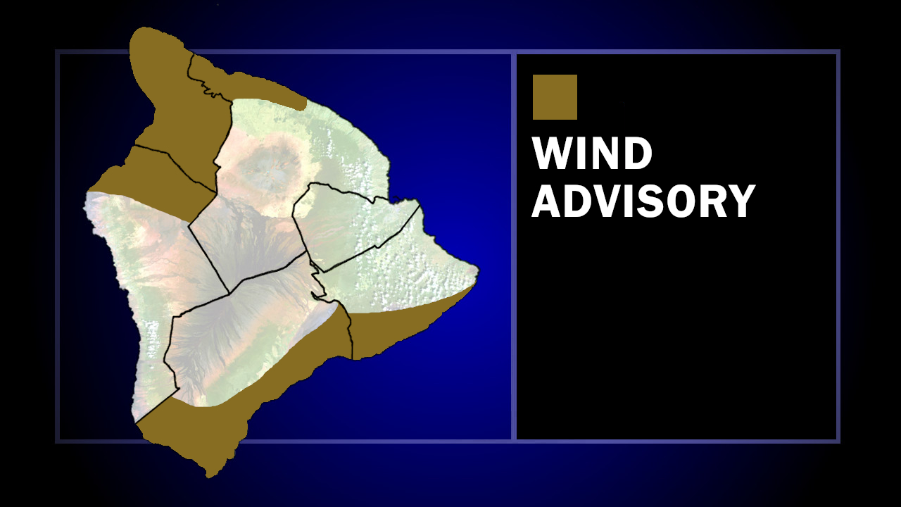

(BIVN) – A Wind Advisory has been issued for areas of Hawaiʻi island, and a Marine Weather Statement has been issued for north-facing harbors.
The National Weather Service in Honolulu says east winds 15 to 30 mph, with gusts up to 50 mph, are expected for areas of the Big Island. Windward Kaʻū and leeward North and South Kohala and North Kona are included.
“Winds this strong can tear off shingles, knock down tree branches, blow away tents and awnings and make it difficult to steer, especially for drivers of high profile vehicles,” the National Weather Service commented. “Watch out for falling tree branches when walking or driving. Make sure tents and awnings are secure or take them down. Be prepared for power outages.”
The winds are being generated by a strong high pressure system building north of the Hawaiian Islands, creating gusty conditions over and down stream of island mountain ranges Sunday.
Meanwhile, ocean surges are possible in north-facing harbors, like Hilo Harbor. Forecasters say a “moderate, long-period north swell from 350 to 360 degrees will build across Hawaiian waters and peak later today and Monday as the period shortens to 12 seconds. The swell will produce moderate to heavy surges in north-facing harbors, especially at Kahului and Hilo Harbors.”
“Mariners using these harbors should exercise caution when mooring or launching vessels and when entering or leaving port,” the National Weather Service stated. “The swell will diminish Tuesday.”
