
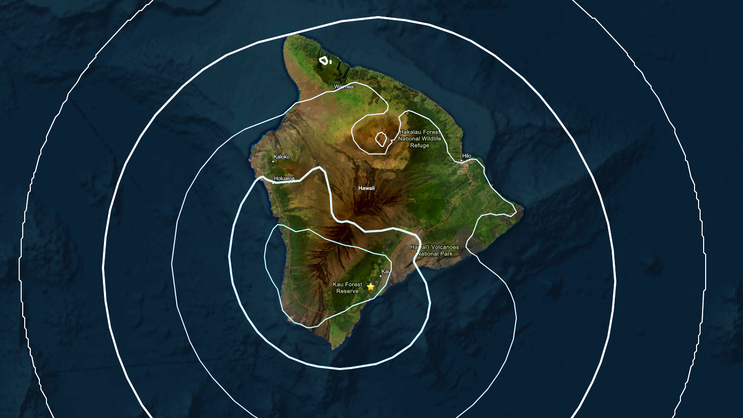

(BIVN) – A magnitude 4.1 earthquake struck Hawaiʻi island on Thursday evening.
The earthquake occurred at 7:52 p.m. HST and was centered about 2 miles southwest of Pāhala in Kaʻū. The quake was located 19 miles below sea level.
The earthquake had no apparent impact on the active eruption at Kīlauea volcano, the USGS Hawaiian Volcano Observatory reported in an information statement. The quake also had no apparent impact on Mauna Loa volcano.
As of 11 p.m., more than 140 people had reported feeling light shaking as a result of the earthquake. The event was not strong enough to generate a tsunami.
The USGS noted aftershocks are possible in the coming days to weeks.
