
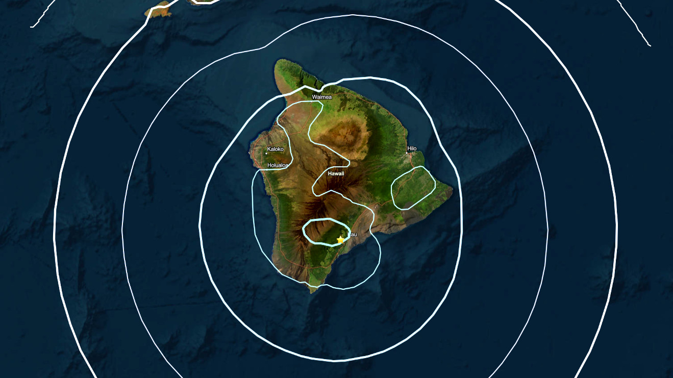

(BIVN) – A magnitude-4.2 earthquake shook Hawaiʻi island, late Monday evening.
The 11:37 p.m. quake occurred 1 mile (2 km) northwest of Pāhala in Kaʻū, at a depth of 21 miles (33 km) below sea level. The event was felt all around the Big Island, as far as the Upolu Point-area of North Kohala.
The earthquake was not strong enough to generate a tsunami, and no damage to buildings or infrastructure was expected based on the intensity.
The earthquake was a part of the ongoing deep swarm beneath Pāhala that began about 7 years ago and was not directly related to volcanic activity, the USGS Hawaiian Volcano Observatory said in a statement issued after the event.
“The earthquake had no apparent impact on the paused Halemaʻumaʻu eruption or elsewhere on either Mauna Loa and Kīlauea volcanoes,” the Observatory said.
