
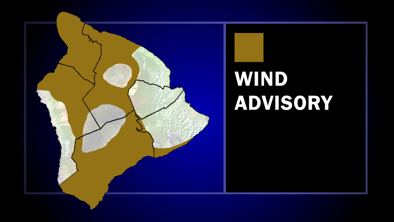

(BIVN) – The Wind Advisory for portions of Hawaiʻi island has been extended into Sunday morning, as northeast winds of 25 to 35 mph – with gusts up to 50 mph – remain possible.
The National Weather Service indicated North and South Kohala, Hāmākua, Kaʻū, and interior areas are under the advisory. Forecasters say the strongest sustained winds will occur over mountain ridges, gaps, and where winds blow downslope from higher terrain.
In a radio alert message, the Hawaiʻi County Civil Defense stated:
- Those in the advisory area take action to minimize high wind damage.
- Motorists, drive with caution and be aware of possible roadway debris, downed trees, and utility lines.
- Please stay clear of downed utility lines and report all hazards to authorities.
Hawaiian Electric says it is continuing to monitor the dry and windy conditions, and a Public Safety Power Shutoff (PSPS) is still a possibility in the South Kohala-area of Hawaiʻi island. As of Saturday at 6 p.m., power remains on in communities with high exposure to wildfire risk.
“PSPS determinations can change at any time based on weather conditions,” stated Hawaiian Electric in a Saturday evening news release. “Three criteria must be met concurrently when determining a shutoff: persistent drought conditions, wind gusts 45 mph and higher, and relative humidity below 45%. The company analyzes data from weather stations and cameras near its infrastructure in high-risk areas with potential for fire spread. Wind gusts can be stronger in higher elevations than in residential areas.”
In a Saturday afternoon discussion, the National Weather Service reported conditions are below the critical thresholds. However, “this dry and windy pattern will maintain near critical fire weather concerns through the evening, especially for areas above the inversion heights and downslope of ridges,” the forecasters said.
“Trades are expected to decrease to locally breezy levels Sunday into early next week,” the National Weather Service stated. “A steady increase in low to upper level moisture could also fill in across the state next week if an upper level low ends up moving close to the islands. This could also raise the inversion and lower fire weather risks.”
