
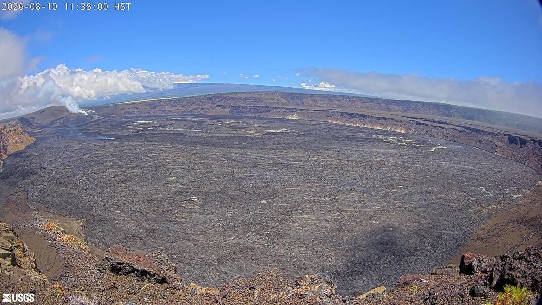

(BIVN) – The ongoing eruption at the summit of Kīlauea remains paused, as continued deflation pushes back the forecasted start of episode 53. Meanwhile, earthquake activity has increased in the lower Southwest Rift Zone, including a swarm of 18 earthquakes recorded over the past 24 hours.
The Southwest Rift Zone (SWRZ) earthquake swarm occurred between 4 a.m. and 6:20 a.m. HST. “The earthquakes clustered in a relatively small area spanning approximately 3 square miles (8 square km) of the lower SWRZ past the Koʻae fault zone,” the USGS Hawaiian Volcano Observatory reported on Monday. “Quakes ranged from very shallow to depths of about 3.7 miles (6 km). The largest earthquake in the swarm was a magnitude of 2.3.”
On Monday, the Uēkahuna tiltmeter continued to record gradual deflation. Scientists say current inflation models have pushed back the anticipated start of episode 53 lava fountains to between Wednesday and Saturday, August 12th to 15th.
“Over the past day, UWD recorded a net loss of 0.4 microradians as of 7:00 a.m. HST,” the Observatory reported. “Cumulative inflation since the end of episode 52 is now 9.8 microradians, down from a maximum of 12.3 microradians reached Friday morning, for a total of approximately 2.5 microradians of deflation since then. Brief spikes in summit tilt signals at approximately 2:48 and 2:59 a.m. HST were likely associated with seismic waves from a distant M7.4 earthquake in Colombia at 2:34 a.m. HST.”
Overnight, there was persistent weak glow from the north vent, and no glow from the south vent. “Small spots of incandescence persisted near the northern end of the new crack, while intermittent small flames were observed from the north vent,” the Observatory stated.
“Satellite measurements indicate that the crack, which first opened on July 30, has since enlarged and is currently approximately 65.6 feet (20 m) long from north–south by 32.8 feet (10 m) wide, east–west,” the scientists said.
“Intermittent, irregular gas pistoning continued over the past day, with larger tremor spikes generally spaced 30 minutes to 2 hours apart,” the Observatory noted. “Beginning around 7:00 p.m. HST yesterday, continuous tremor became the dominant seismic signal, although occasional gas piston spikes have continued through this morning.”
The USGS Volcano Alert Level for Kīlauea remains at ADVISORY.
