
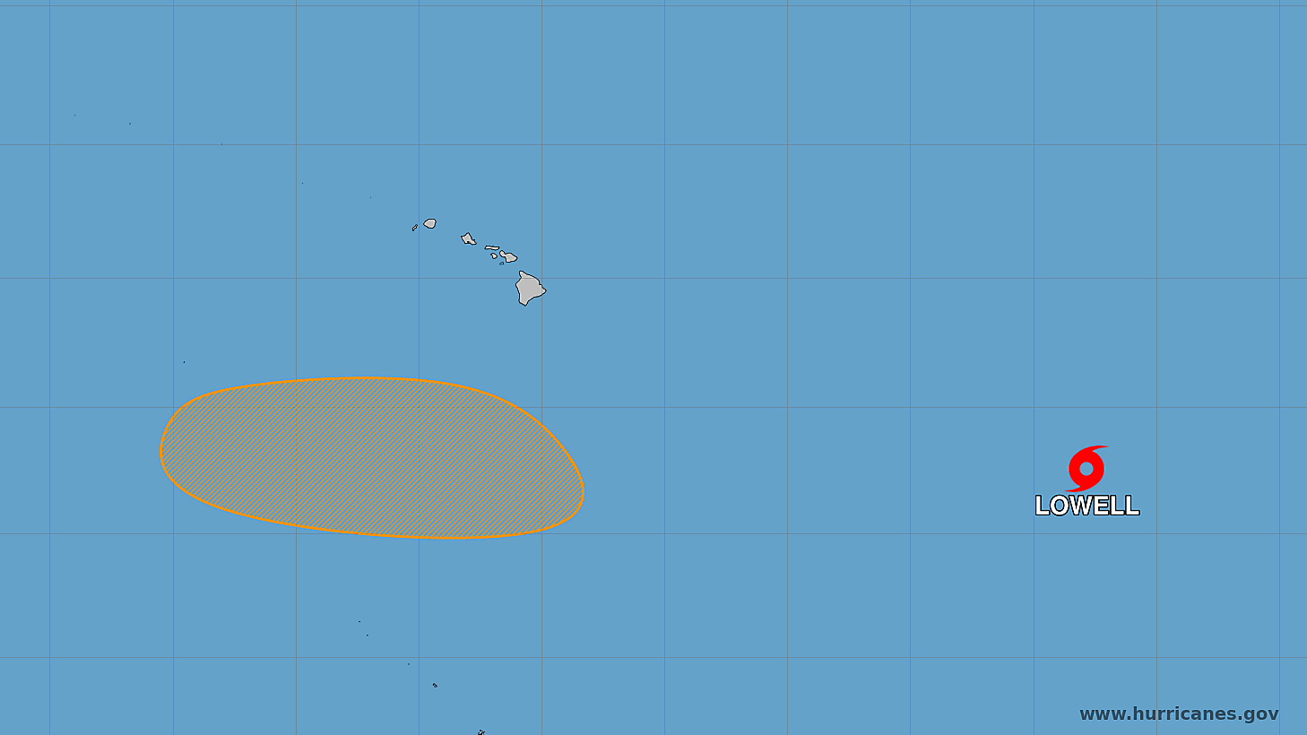

(BIVN) – Tropical Storm Lowell has formed in the Pacific, and as of Friday morning was located 1,560 miles east southeast of Hilo.
The storm is currently moving north-northwest near 5 mph, with a turn to the west expected by this weekend. Lowell is also forecast to strengthen into a hurricane this weekend.
Early Friday, forecasting models were lacking consistency when it came to plotting Lowell’s direction.
“Long-range models show Lowell will advance toward the state next week,” the National Weather Service wrote in a discussion posted at 4:25 a.m. HST. “As no distinct center of circulation has appeared with Lowell and it has been drifting, deterministic model guidance have struggled with grabbing onto this system and therefore have lacked any run-to-run consistency.”
“Ensemble members that move Lowell in close vicinity of the island chain in a little over a week still remain in the minority,” the Honolulu-based forecasters wrote. “Google Deepmind’s ensemble takes the storm due west then northwest into a less sheared environment south of Hawaii over the Labor Day Weekend.”
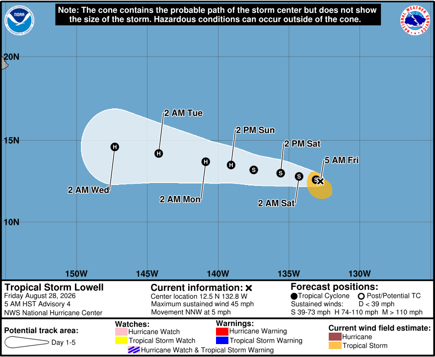
From the NWS National Hurricane Center at 5 a.m. HST:
Northeasterly to easterly vertical wind shear continues to affect Lowell, with the low-level center currently exposed to the northeast of the deep convection. However, a recent burst of convection has developed closer to the center in the last hour or so. Objective satellite intensity estimates from UW-CIMSS range from 33 to 40 kt, and the latest subjective Dvorak classification from TAFB is T2.5/35 kt with a Current Intensity (CI) of 3.0/45 kt. Based on a blend of these estimates and recent satellite trends, the initial intensity is held at 40 kt.
The initial motion remains slowly east-northeastward. This slow motion should continue through today, followed by a gradual turn toward the west-northwest and west tonight into tomorrow as a mid-level ridge begins to build to the north of the cyclone. As this ridge strengthens, the system should gradually accelerate westward. Beyond 48 to 72 hours, considerable along- and cross-track spread remains in the model guidance. This uncertainty is tied to the complex evolution of multiple systems and disturbances in the central and eastern Pacific, and their subsequent impacts on the steering flow. The latest NHC track forecast remains on the faster side of the guidance envelope, generally blending the faster HCCA and slightly slower TVCN consensus aids. The Google DeepMind model is the fastest solution provided by the guidance, however as noted in previous discussions, this model has exhibited a fast bias in the Pacific basin this season.
Although Lowell is dealing with some moderate vertical wind shear, environmental conditions are expected to remain or become even more favorable for intensification over the next several days. The cyclone is forecast to move over warm sea surface temperatures within an environment of light to moderate shear and abundant mid-level moisture. Particularly beyond 60 hours, the intensity guidance indicates steady strengthening, and the system is forecast to reach hurricane intensity by this weekend. The updated NHC intensity forecast is similar to the previous advisory, lying near the high end of the guidance suite in the short term and closer to the middle of the envelope beyond 72 hours. However, it should be noted that some of the regional hurricane models, and HCCA suggest a faster rate of intensification is possible.
