

(BIVN) – The summit of Kīlauea volcano remains at a high level of pressurization. The USGS Hawaiian Volcano Observartory says “fountaining, intrusions, or an eruption in a new location within the summit region could occur in the coming days to weeks.”
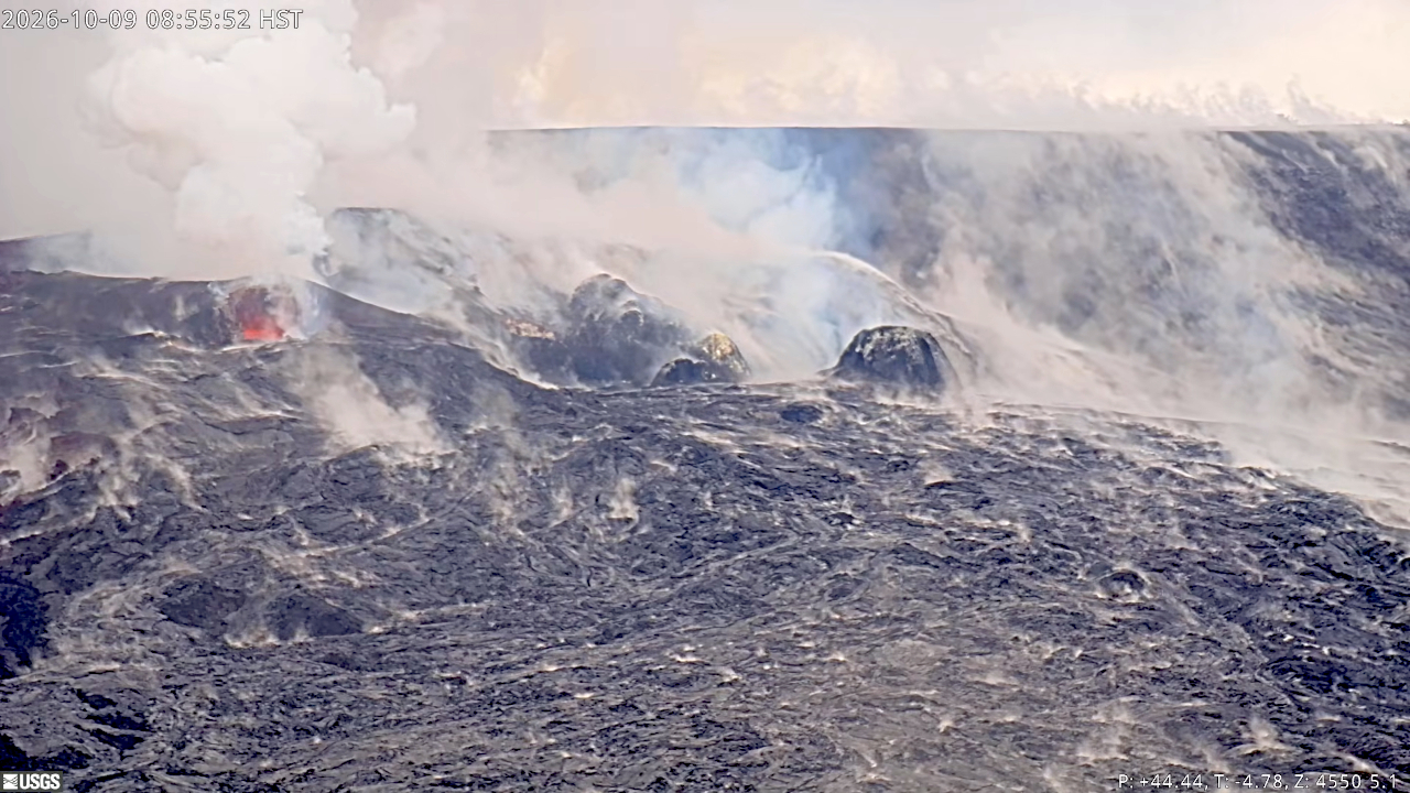
Overnight, minor spatter erupted from the north and south vents within Halemaʻumaʻu. Strong glow and flames can often be seen on USGS webcams.
By day, robust plumes of volcanic gas can be seen, emanating from both vents. Winds from the south/southwest were expected to result in voggy conditions in the communities around Kīlauea summit on Friday.
From the USGS HVO on Friday morning:
Rift Zone Observations:
Rates of seismicity and ground deformation remain low in the East Rift Zone and Southwest Rift Zone. SO2 emissions from the East Rift Zone remain below the detection limit. No significant ground deformation was recorded in either rift zone.
Analysis:
Kīlauea had been erupting episodically between December 23, 2024, and August 25, 2026, from two vents (north and south) in Halema‘uma‘u at the summit. Lava fountaining episodes generally lasted for less than 12 hours and were separated by pauses of two or more weeks. Irregular patterns of ground deformation at Kīlauea summit since the most recent lava fountaining episode, number 54 on August 25, 2026, prevent forecast modeling for when the next fountaining episode can occur. Ground deformation patterns indicate the magma chamber beneath Halemaʻumaʻu is pressurized beyond the level typically seen before recent fountaining events. It is possible that another fountaining episode from the north-south vent complex could occur; however, intrusive activity underneath Kaluapele is also possible, or magma could exploit existing weak crack systems in the summit region to erupt passively (with little or no seismicity or deformation).
HVO continues to closely monitor Kīlauea and is in contact with Hawai‘i Volcanoes National Park and the Hawai‘i County Civil Defense Agency about eruptive hazards. Kīlauea volcano alert level and aviation color code remain at WATCH/ORANGE and conditions could change rapidly.
