
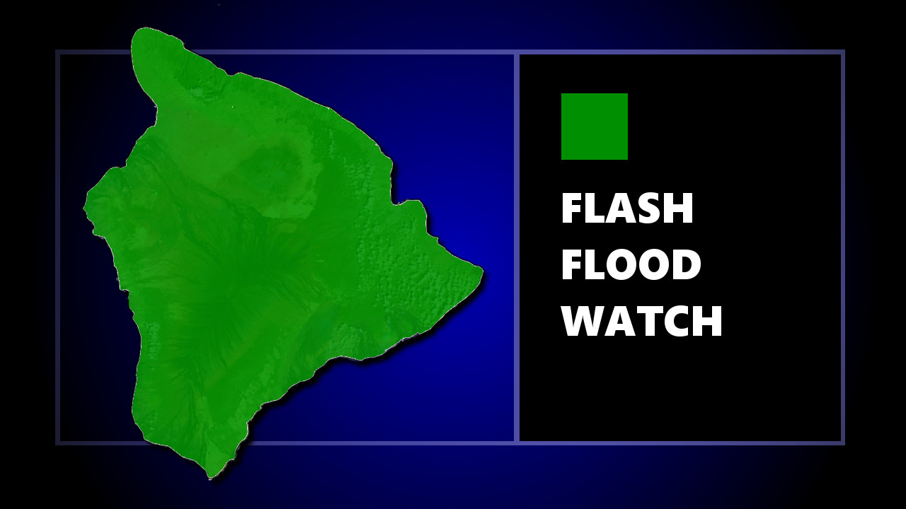

(BIVN) – A Flash Flood Watch will be in effect for Hawaiʻi Island, starting on Thursday and continuing through Saturday.
The National Weather Service in Honolulu says:
An unstable airmass will move over the islands Thursday into the weekend, bringing an increase in showers across the eastern islands. While showers will be possible over most areas, the areas most susceptible to flooding will be windward locations which have already received rain this week.
The extended period of rain could cause flooding in low spots which could make some roadways impassable. Debris in streams and gulches may clog bridges and culverts. Strong winds may cause tree branches to fall which will potentially add to the amount of debris.
On Wednesday a Wind Advisory remained in effect for parts of Hawaiʻi Island, including South Point, Pahala, Hilo, Volcano, Honokaʻa, Waimea, Waikoloa, Pōhakuloa, and Saddle Road Above 5000 feet. Northeast winds will be 20 to 30 mph with gusts up to 50 mph.
