
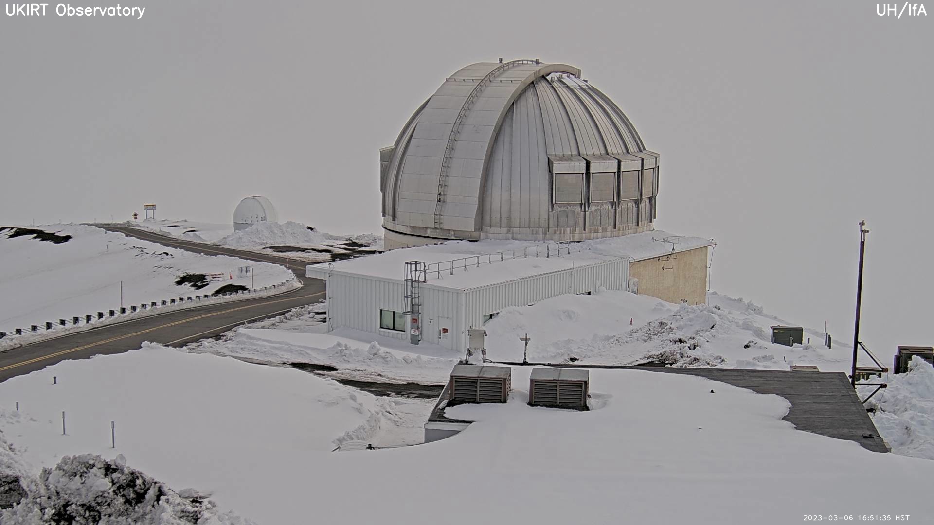

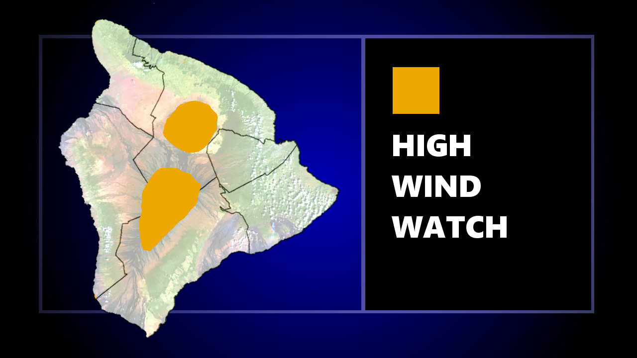
(BIVN) – Localized gusts over 100 mph will be possible on the snow-covered summits of Maunakea and Mauna Loa starting on Tuesday, forecasters say, where a High Wind Watch will be in place from Tuesday morning through Friday afternoon.
The National Weather Service in Honolulu says “a broad upper level trough will move over the state and will bring a prolonged period of very strong winds for the summits of the Big Island and the summit of Haleakala” on Maui this week. “Winds could stay very strong through the weekend,” the NWS reports.
A Wind Advisory has already been issued for the summits until 6 a.m. HST Tuesday. West winds of 25 to 45 mph, with localized gusts over 55 mph, will be possible. After 6 a.m. on Tuesday, a High Wind Watch portends southwest winds 40 to 80 mph, with localized gusts over 100 mph, through Friday afternoon.
“Winds this strong could make driving and walking dangerous,” the forecasters said. “The winds could forcefully open doors and damage hinges or slam doors shut, possibly causing injuries.”
As of Monday afternoon, the Maunakea summit access road was closed to the public above the Visitor Information Station “due to foggy conditions and winds exceeding 55 mph with poor visibility,” rangers reported.
