(BIVN) – A Wind Advisory is in effect for much of Hawaii Island this Sunday morning, and a High Surf Advisory lingers for north and east-facing shores, but starting Monday residents will be on the look out for some really wet weather.
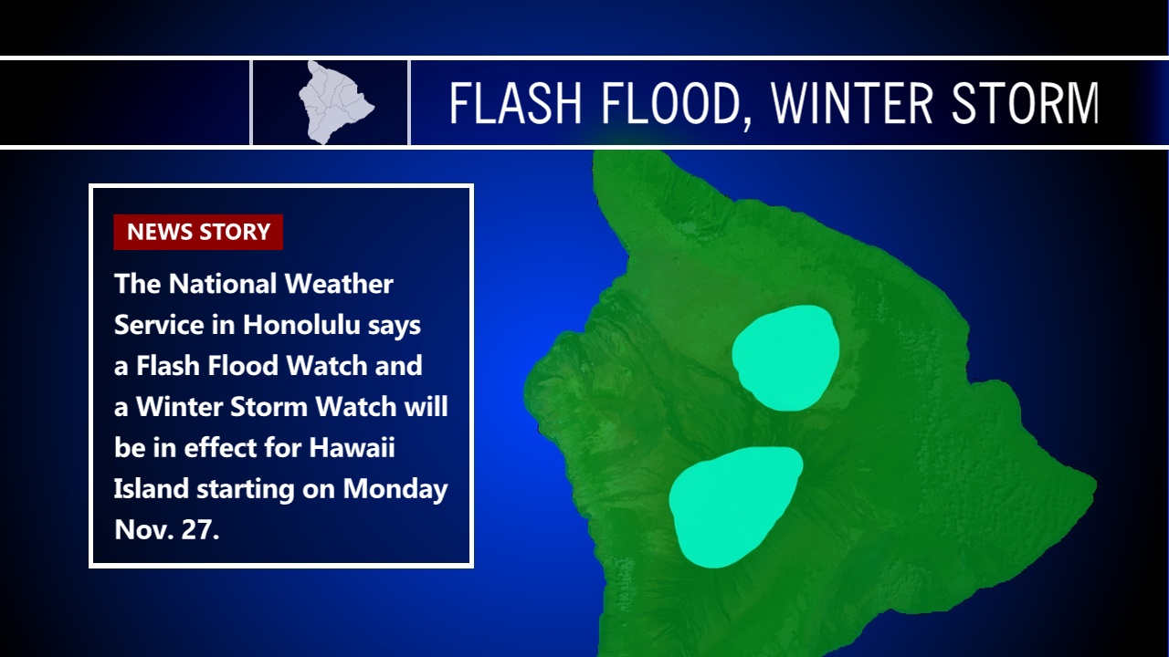
It has been raining off and on in Hilo for the past few days, but by November 27, the National Weather Service says “deep tropical moisture combined with decreased stability will introduce the possibility for heavy rainfall and flash flooding across the eastern third of the main Hawaiian Island chain,” prompting a Flash Flood Watch for the entire Big Island, and a Winter Storm Watch for the summits of Mauna Kea and Mauna Loa.
Heavy snow is possible at the summits from Monday morning through Tuesday afternoon. “Plan on difficult travel conditions,” forecasters say. “Total snow accumulations of 2 to 4 inches, with localized amounts up to 12 inches, are possible.”
For now, a Wind Advisory remains in place for the Big Island, with northeast winds of 20 to 35 mph with localized gusts over 50 mph. “Winds will be strongest over and downwind of terrain,” forecasters say.