(BIVN) – A magnitude 3.7 earthquake occurred Thursday evening just off the east-side of Maui, and was widely felt on the north-end of Hawaiʻi island.
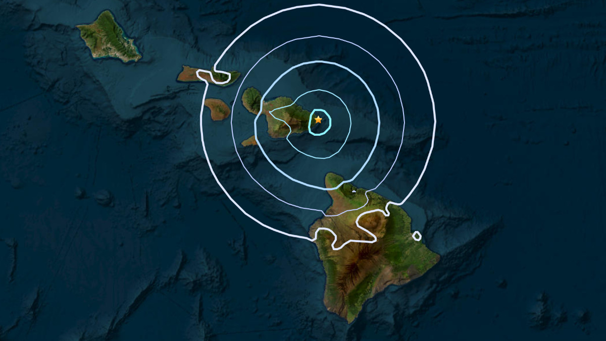
The 8:44 p.m. earthquake was located near the village of Hana at a depth of 6.2 mi (10 km) below sea level.
No damage to buildings or infrastructure is expected based on the earthquake intensity. It was not strong enough to create a tsunami.
In an information statement issued by the USGS Hawaiian Volcano Observatory, scientists said the quake had no apparent impact on either Mauna Loa or Kīlauea volcanoes on the Island of Hawaiʻi.
“Earthquakes in this region are not common but have occurred occasionally,” the USGS HVO wrote. “These earthquakes are caused by bending of the crust beneath the islands and associated adjustments related to the weight of the islands.”
The earthquake was widely felt on Maui, Moloka‘i, and in the Kohala districts of the Big Island.

by Big Island Video News
on at
STORY SUMMARY
HAWAIʻI - The earthquake was most likely caused by bending of the crust and associated adjustments related to the weight of the Hawaiian islands.