(BIVN) – Blizzard conditions are expected to hit Hawaiʻi island summits starting Thursday evening, as part of the powerful kona low weather system bringing heavy rain, thunderstorms, and strong winds to the Hawaiian islands.
A Winter Weather Advisory is currently in effect for the summits of Maunakea and Mauna Loa. The National Weather Service says that advisory will be replaced by a Winter Storm Watch at 6 p.m. Thursday evening, at which time blizzard conditions will be possible.
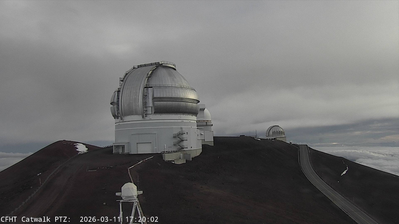
Total snow accumulation of 12 to 18 inches could blanket the summit regions, with winds gusting as high as 110 mph, forecasters say.
Lower elevations on the island are prepared to see flash flooding, damaging winds, and severe thunderstorms. A Flood Watch is in effect for the entire Big Island, as well as a High Wind Watch. As of Thursday morning, flash flooding was already reported on Oʻahu.
From the latest National Weather Service forecast discussion:
By Friday, the weather conditions become vastly more severe, as stronger southwesterly winds providing damaging wind gusts along island mountain slopes, favoring northern and eastern slopes of steep mountain terrain. Already saturated ground conditions and trees unaccustomed to southwest winds will fall and likely cause blocked roadways and lead to power outages. These strong southwesterly winds will continue through Saturday afternoon. These stronger southwest winds speed up into the 50 to 70 MPH range around the 5,000 foot level. These winds will also converge at the lower levels, lifting the atmosphere and producing strong convective heavy shower and thunderstorm bands. As these clouds reach higher and higher heights in the atmosphere they will reach up and pull down these stronger winds to the surface, yielding wind gusts in the 50 to 70 mph range in the strongest thunderstorm cells. This means even outside of terrain enhancing wind gusts any strong thunderstorms are capable of producing severe hurricane force wind gusts over islands or coastal waters through Saturday. A High Wind Watch remains in effect to cover these damaging wind threats.
Some of these stronger thunderstorms will likely become severe with the heaviest rainfall rates and strong damaging winds. High levels of instability, wind shear and atmospheric forcing ingredients are all coming into focus over the islands from Friday through Saturday for a potential severe weather event. A Severe Thunderstorm Watch may be needed during the Friday through Saturday time period. However, we will likely wait until we see these severe thunderstorm developing over the local area before pulling the trigger on this Severe Thunderstorm Watch with a short lead time measured in hours.
From Saturday night to Sunday another upper level short wave trough passes over the islands leading to another upward pulse in moderate to heavy shower activity. Thunderstorms will also threaten the islands and become more of a flooding threat as decreasing upper level and surface wind speeds diminish the damaging wind gust threats.
Monday and Tuesday, the large kona storm begins to lift northward drifting slowly away from the Hawaiian Islands. This means wet weather continues, however moderate to heavy rainfall rates will decrease and southwest winds will gradually weaken through the first half of next week.

by Big Island Video News
on at
STORY SUMMARY
HAWAIʻI ISLAND - A Winter Weather Advisory, in place for the summits of Maunakea and Mauna Loa, will become a Winter Storm Watch this evening.