
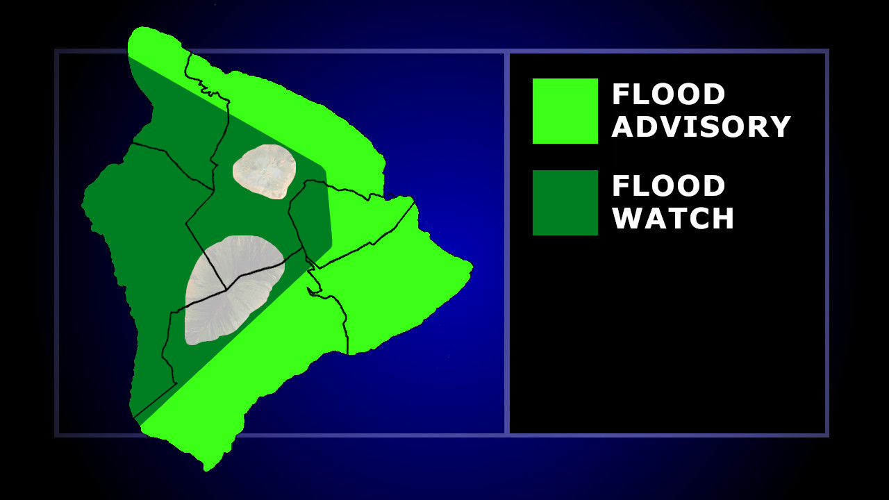

(BIVN) – The National Weather Service issued a Flood Advisory for East Hawaiʻi on Tuesday, as occasionally heavy rains continued to soak the Big Island.
“At 4:11 PM HST, radar and automated rain gauges indicated heavy rain showers over Kohala and Hilo districts, along with Puna and Kaʻū,” the forecasters stated. “Rain was falling at a rate of 1 to 2 inches per hour. The heaviest rainfall is occurring near Pahala. Additional heavy showers are expected.”
The National Weather Service says some locations that will experience flooding include Hilo, Hawaiian Paradise Park, Kapaʻau, Honokaʻa, Volcano, Glenwood, Mountain View, Hawaiʻi Volcanoes National Park, Wood Valley, Hawaiian Acres, Keaʻau, Orchidlands Estates, Papaikou, Pahala, Pepeʻekeo, Honomu, Hakalau, Pahoa and Punaluʻu Beach.
Meanwhile, the entire island of Hawaiʻi remains under a Flood Watch through 6 a.m. Wednesday. Forecasters say instability from the departing upper low, combined with low level convergence, will continue to bring a risk of flash flooding through tonight.
From the National Weather Service discussion posted before 4 p.m. HST:
An exiting upper level trough still has cold air aloft, and will keep conditions unstable over the Big Island through tonight. Earlier today, this lead to an extension of the flood watch there through 6 AM HST Wednesday. Windward and high elevation showers have been occurring since late morning, and will continue and strengthen going into tonight. Therefore flash floods are still possible and folks should be prepared the rest of today and tonight.
