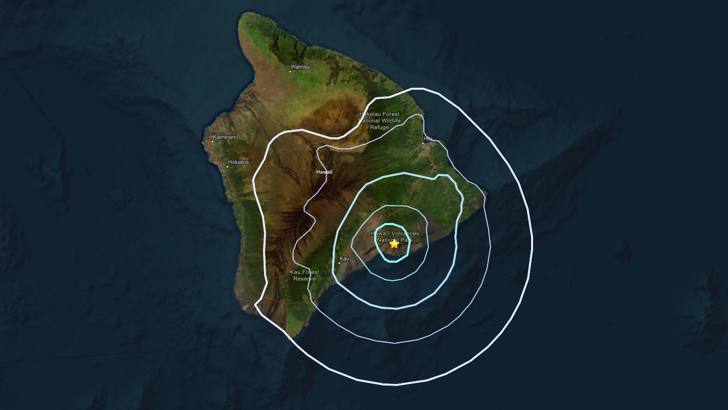
(BIVN) – A magnitude-3.6 earthquake occurred Wednesday morning at 8:29 a.m., and was located 9 miles (14 km) south of Volcano Village.
The earthquake had no apparent impact on either Mauna Loa or Kīlauea volcanoes.
“Most earthquakes in this region are caused by motion of Kīlauea volcano’s south flank, which moves to the southeast over the oceanic crust,” the USGS Hawaiian Volcano Observatory reported in an Information Statement. “The location, depth, and waveforms recorded as part of today’s earthquake are consistent with slip along the south flank. This earthquake is not directly related to the ongoing eruptive activity on Kīlauea volcano.”
The Observatory reported no damage to buildings or infrastructure was expected based on the intensity of the earthquake intensity.
The earthquake was mainly felt in the South Hilo and Puna districts.