
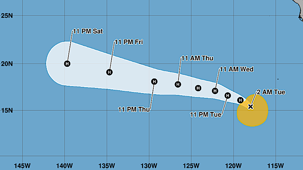

(BIVN) – Hurricane Fausto continues to strengthen over Eastern Pacific waters, as it moves toward the northwest near 12 mph.
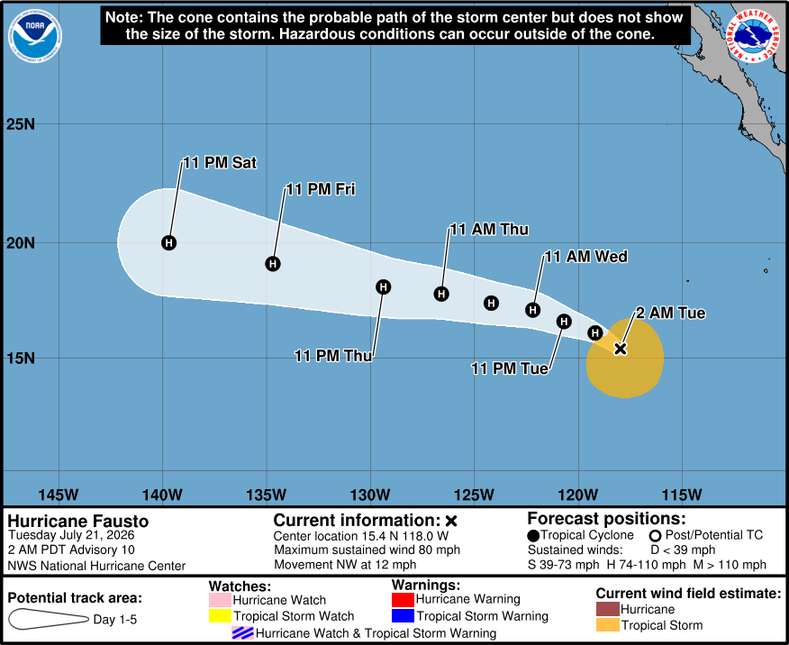
As of 11 p.m. HST, the center of Hurricane Fausto was located near latitude 15.4 North, longitude 118.0 West. Maximum sustained winds are near 80 mph (130 km/h) with higher gusts.
The National Hurricane Center in Miami expects to see steady to rapid strengthening during the next couple of days, with Fausto forecast to near major hurricane intensity by Wednesday.
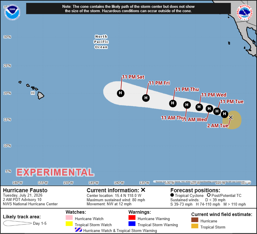
“Hurricane Fausto will remain far east and away from our offshore waters into next weekend but may still influence localized trade winds going into early next week,” the National Weather Service in Honolulu commented on Monday evening.
“This weekend, larger surf for east shores generated by Hurricane Fausto is possible and could bring advisory level surf along east-facing shores as well,” the forecasters said.
From the 11 p.m. HST discussion posted by the National Hurricane Center:
Satellite imagery indicates that Fausto has continued to become better organized during the past several hours. Although modest northerly shear continues to affect the cyclone, the central dense overcast has recently begun to expand over the center and into the northwestern quadrant, suggesting that the inner core is becoming better established. The subjective Dvorak intensity estimate from TAFB is now T4.5/77 kt, while objective estimates are hovering around 65 kt. Based on a blend of these data and the improving satellite presentation, the initial intensity is increased to 70 kt.
The initial motion is estimated to be 310/9 kt, and that general motion is expected to persist through tonight as the cyclone moves toward a weakness in the subtropical ridge. By Wednesday, high pressure is forecast to build westward to the north of Fausto, causing the system to turn west-northwestward and gradually accelerate through the remainder of the forecast period. Track guidance remains tightly clustered through about 72 h. Thereafter, although the cross-track spread gradually increases, the multi-model consensus (HCCA) and GFS have shifted southward toward the ECMWF and Google DeepMind ensemble mean, which remain on the southern end of the guidance envelope. The NHC forecast is very similar to the previous, with only a slight shift southward, closely aligning with the HCCA track.
Fausto is expected to move into an environment of lower vertical wind shear while remaining over warm waters and within a moist air mass during the next couple of days. As the modest northerly shear begins to relax later today or tonight, conditions should support steady to rapid strengthening through Wednesday. The NHC intensity forecast brings Fausto to near major hurricane intensity by 36 h and remains near the upper end of the guidance envelop. A gradual weakening trend is expected thereafter as the cyclone moves over progressively cooler waters and into a drier, more stable environment.
