

(BIVN) – Tropical Storm Fausto has degenerated into a remnant low pressure area overnight, 285 miles north off Hilo.
Maximum sustained winds are near 35 mph (55 km/h) with higher gusts, and forecasters say the post-tropical cyclone is forecast to weaken to a trough by Friday.
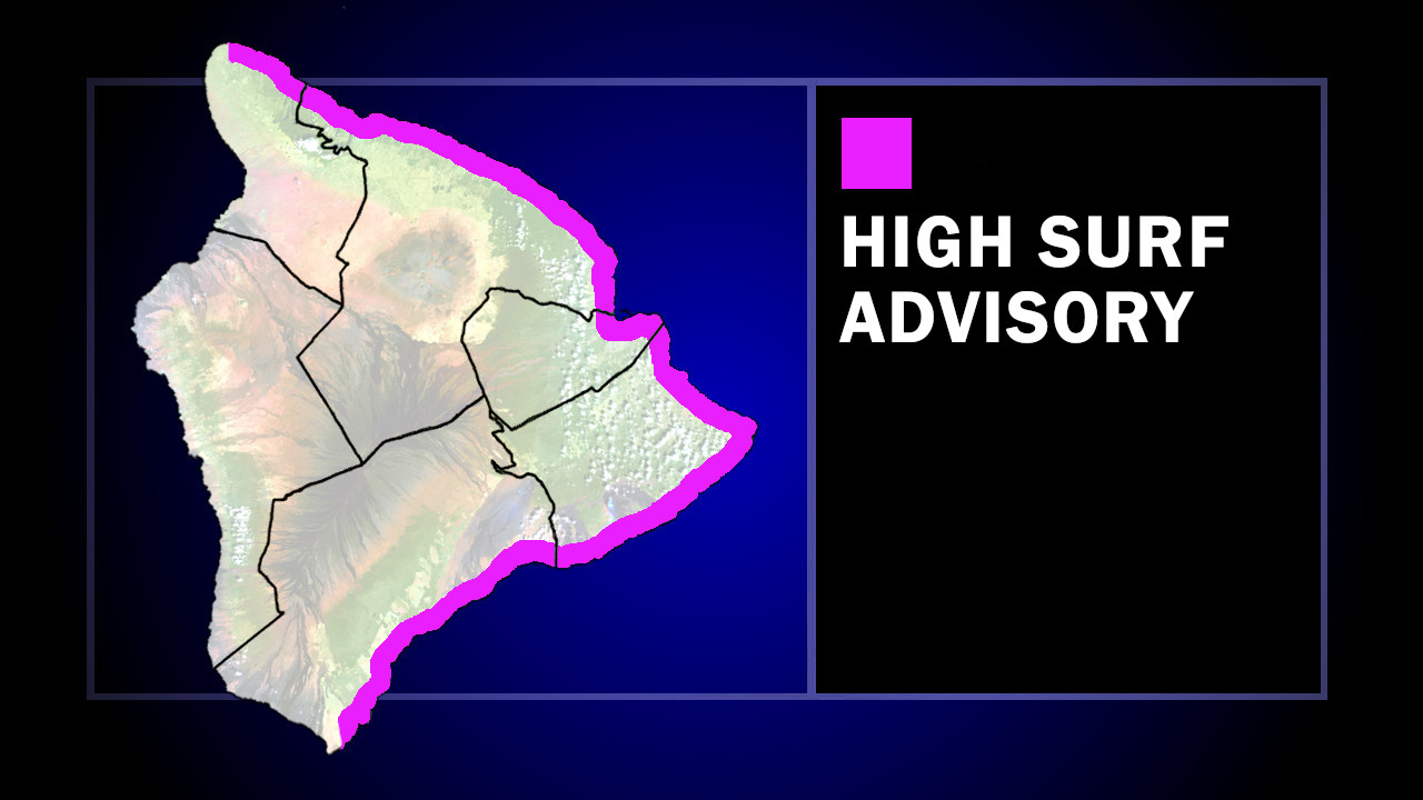
The High Surf Warning for east-facing shores of Hawaiʻi has been downgraded to a High Surf Advisory. Surf heights of 8 to 12 feet Wednesday morning will quickly diminishing below 10 feet by this afternoon.
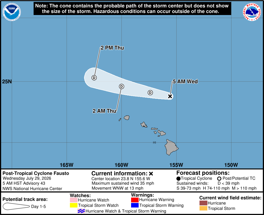
From the Central Pacific Hurricane Center at 5 a.m. HST:
It has been 18-21 h since Fausto produced convection that met the criteria of the Dvorak Technique for tropical cyclone intensity estimates, with just a few patches of convection occurring well to the east and northeast of the center. Also, scatterometer data received after the last advisory suggested the circulation is losing definition. The cyclone is in an environment of 40-45 kt of westerly vertical shear and a dry mid-level airmass, and thus significant convective re-development appears unlikely. Based on these developments, Fausto is being downgraded to a remnant low pressure area.
Fausto continues west-northwestward with an initial motion of 290/11 kt. This general motion should continue until the system dissipates, as the shallow circulation is steered mainly by the tradewind flow south of the subtropical ridge. The forecast track keeps the remnants well to the north of the Hawaiian Islands.
The dynamical models forecast the remnant low to persist for another 36 h or so, and after that it should degenerate to a open trough. This is reflected in the intensity forecast.
This is the last advisory on Fausto. For additional information on the remnant low please see High Seas Forecasts issued by the National Weather Service, under AWIPS header NFDHSFEPI, WMO header FZPN02 KWBC, and on the web at ocean.weather.gov.
Key Messages:
1. Surf generated by Fausto is building westward across the Hawaiian Islands along exposed east-facing shores and will remain dangerous today as Fausto passes north of the islands. Large surf and strong currents will lead to dangerous conditions along exposed shores. Please consult products from your local weather office.
