

(BIVN) – As of Tuesday night, with a weakening Tropical Storm Lowell departing the Hawaiian Islands to the northwest, the threat of potentially heavy rainfall lingers over the Big Island.
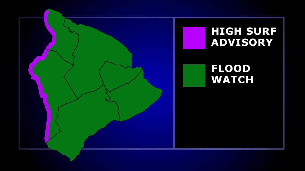
A Flood Watch remains in effect for Hawaiʻi island, where flash flooding caused by excessive rainfall continues to be possible into Wednesday.
“An area of enhanced residual moisture can also be seen extending southeast from Lowell down to over near Maui County and the Big Island,” wrote the national Weather Service at 8:31 p.m. HST. “This moisture, along with light to locally moderate southerly or southeast flow, will keep the chance of scattered showers going tonight for Big island and the eastern slopes of Haleakala on Maui.”
“By Wednesday afternoon, diurnal heating, along with the abundant moisture still draped over the eastern portion of the state, will aid in more robust showers over the Big Island interior, along with a slight chance of thunderstorms,” the forecasters stated.
“Residents in flood prone areas should be prepared for heavy rains and potential flooding, especially residents in Kaʻū District,” stated the Hawaiʻi County Civil Defense.
A High Surf Advisory was also in effect for west-facing shores of Hawaiʻi island on Tuesday night. Large breaking waves of 6 to 8 feet were forecast to become 4 to 6 feet later Wednesday morning.
On Tuesday, the County of Hawaiʻi reported West Hawaii beach parks and Hōnaunau Boat Ramp were closed due to high surf impact.
