
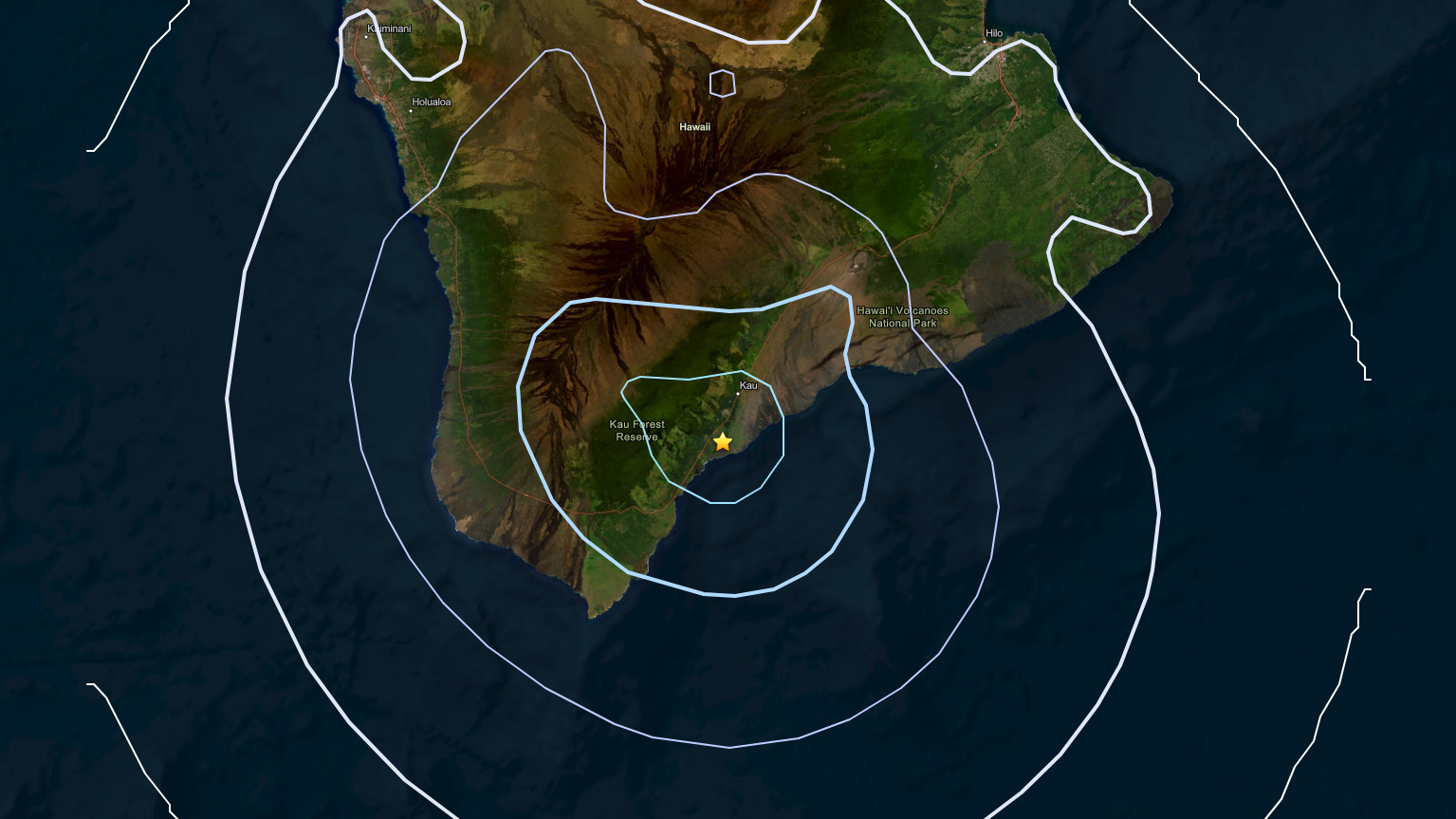

(BIVN) – A magnitude 4.0 earthquake shook the southern half of Hawaiʻi island on Sunday morning, but was not strong enough to cause any damage or generate a tsunami threat.
The earthquake was located 2 miles south of Pāhala at a depth of 8 miles below sea level. The event, which happened at 8 a.m. HST, generated more than 56 “felt reports” within the first half hour. The reports, submitted to the USGS, mostly originated from Kona and Kaʻū, as well as a few from Hilo.
Light shaking was reported, and no damage is expected.
In an information statement, the USGS Hawaiian Volcano Observatory stated the earthquake had no apparent impact on either Mauna Loa or Kīlauea volcanoes. Kīlauea is currently showing prolonged, precursory lava activity building to its next episode of high lava fountaining.
“This earthquake occurred near the long-term seismic swarm under the Pāhala area, which has been going on since 2019,” the USGS stated. “Earthquakes in this region have been observed at least as far back as the 1960s.”
The USGS says aftershocks are possible in the coming days to weeks.
