
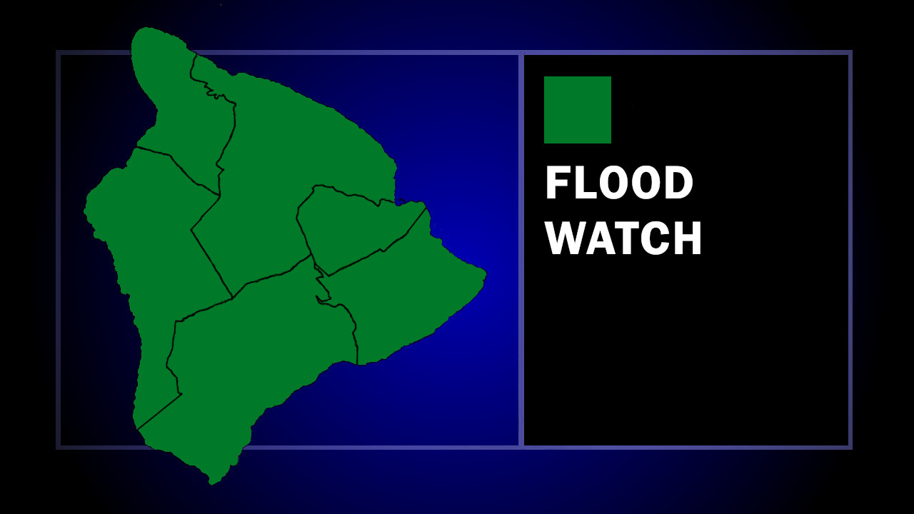

(BIVN) – A Flood Watch has been issued for the main Hawaiian Islands, as heavy rain and isolated thunderstorms are possible from Tuesday morning through late Wednesday night.
The National Weather Service says a trough moving over the state “should bring abundant tropical moisture and is expected to remain nearly stationary for a few days.” The potentially flooding rains were first identified in a Hydrologic Outlook issued over the weekend.
Total rainfall amounts Tuesday through Thursday range from 2 to 8 inches, with the highest amounts in the higher elevations.
There is some uncertainty with the forecast. From the National Weather Service discussion posted at 3:11 a.m. on Monday morning:
A large vertically stacked low sits about 800 miles to our northeast. A front extends to the east and then south of the low, and a trough extends southwest from the decaying end of the front toward Hawaii. A separate upper level trough is our northwest and Tropical Storm Olana sits to our southwest. The northwestern trough will sag southeast helping pull Olana toward the islands. Tropical Storm Olana is expected to weaken into a tropical depression and stay to the west of the islands Tuesday. The trough extending from the low to our northeast will eventually extend all the way to the remnants of Olana, and then drift north over the state. This trough will bring abundant tropical moisture with PWATs close to 2.5 inches and remain nearly stationary over the area through the end of the week. A series of small lows will form with one or more potentially moving over the state. Models still show disagreement on timing and locations of these features. This makes the uncertainty higher than normal.
Since the Monday morning discussion was written, Tropical Storm Olana – previously reported as Tropical Depression Three-C – has weakened back into a tropical depression.
