
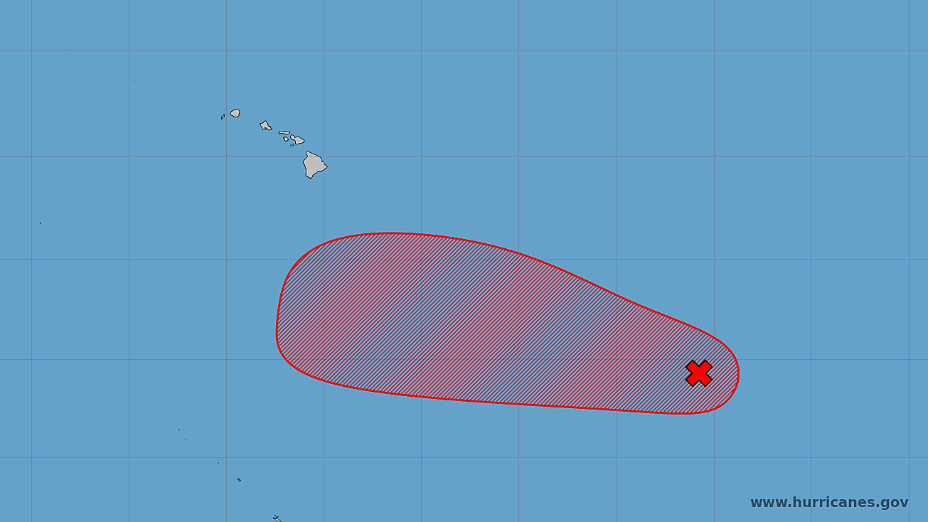

(BIVN) – A tropical disturbance located well southeast of the Hawaiian Islands is likely to become a tropical depression in the next few days, as it moves into the Central Pacific basin at 10 to 15 mph.
The area of low pressure is currently producing disorganized showers and thunderstorms, and the Central Pacific Hurricane Center says environmental conditions appear generally favorable for gradual development of this system.
The National Weather Service in Honolulu says the system “is expected to pass south of the islands this weekend, but will need to be closely monitored as it continues to develop.”
“Guidance thus far indicates minor, indirect effects such as trade wind speeds increasing as this system passes south Friday into the weekend and an increase in trade wind showers for windward Big Island,” the Hawaiʻi-based forecasters stated in a Tuesday morning discussion.
Trade winds could also ease slightly on Sunday as a weakening front approaches, the forecasters added.
