
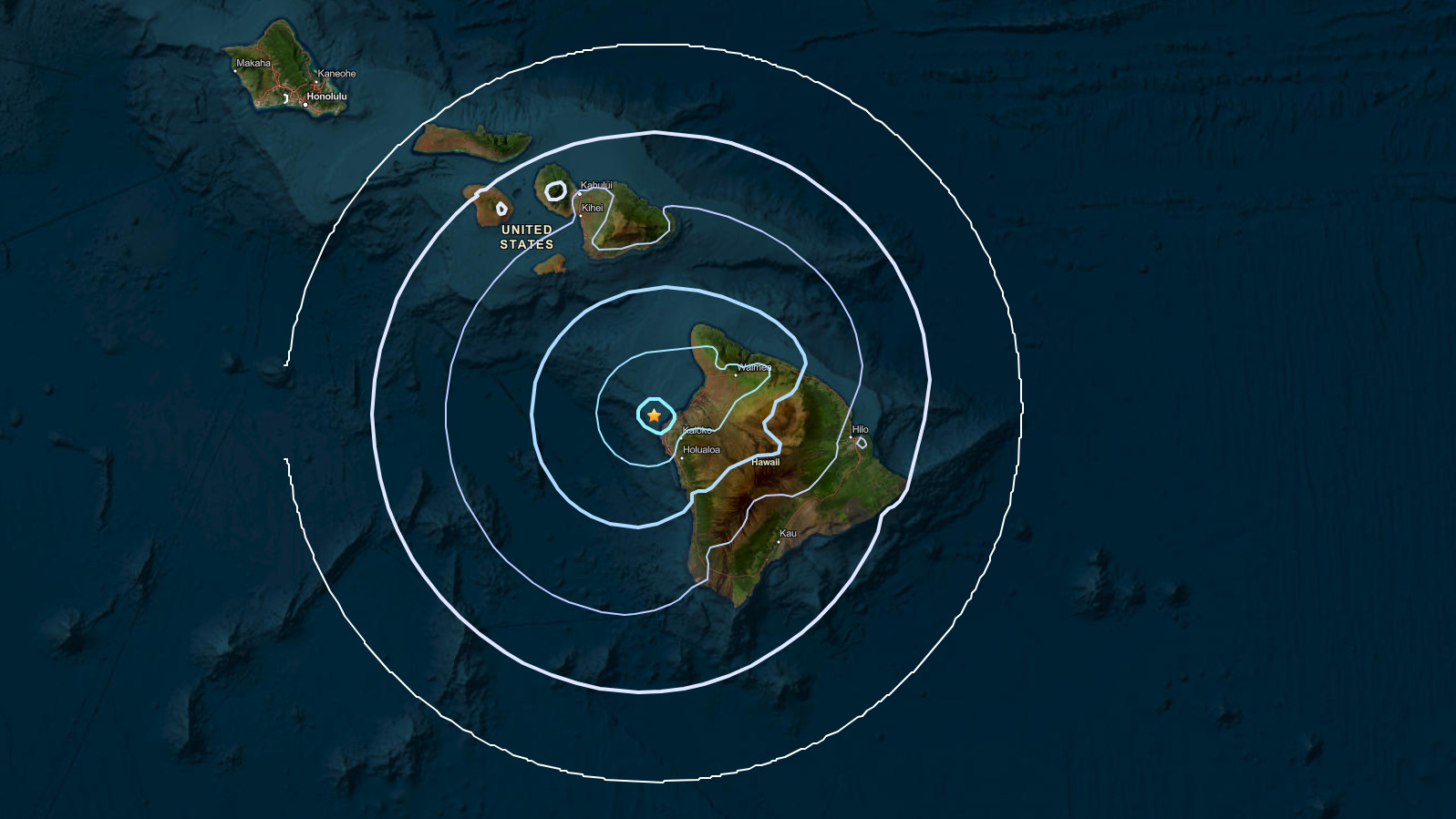

(BIVN) – A magnitude 4.2 earthquake located off the Kona coast shook Hawaiʻi island at 8:26 a.m. on Sunday morning.
Preliminary data from the USGS shows the earthquake was located about 10 miles northwest of Kalaoa, at a depth about 28 miles.
The event was not strong enough to generate a tsunami threat to Hawaiʻi.
UPDATE – (11 a.m.) – In an information statement, the USGS Hawaiian Volcano Observatory said the earthquake had no apparent impact on either Mauna Loa or Kīlauea volcanoes, and no damage to buildings or infrastructure was expected based on the earthquake intensity.
Over 195 people reported feeling the earthquake within the first hour of the event. The reports came in from across Hawaiʻi island, with some reports from Maui and Oʻahu.
