
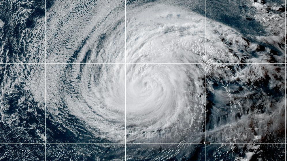

(BIVN) – As of 5 p.m. HST, Hurricane Fausto is about 1,385 miles east of Hilo, and moving west towards Hawaiʻi at 14 mph.
Maximum sustained winds are near 105 mph (165 km/h) with higher gusts. The National Hurricane Center says gradual weakening is forecast during the next several days.
Hawaiʻi County emergency officials advised residents to take this time to review family emergency plans for hurricanes, and prepare emergency kits for hurricane season, which runs from June 1 to November 30.
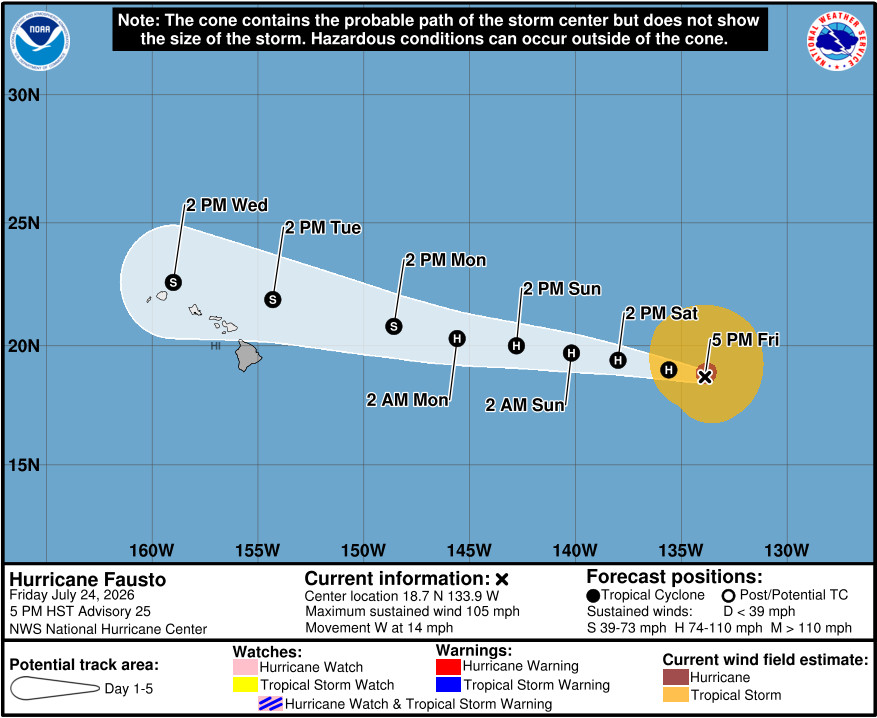
“Fausto is expected to weaken over the next several days as it tracks west across higher shear and cooler waters, reaching the vicinity of the Hawaiian Islands on Tuesday,” said the National Weather Service in Honolulu. “Main impacts Tuesday and Wednesday include winds, rain and east shores surf, and will be dependent upon Fausto’s eventual path.”
“Mitigating effects will be Fausto’s quick 15 mph west movement limiting how long it will rain across the same areas,” the Honolulu-based forecasters said. “Winds could also be mitigated on a more northerly swing of the track, but more impactful if it slides southward. Still lots of possibilities, so best to look at preparations this weekend and stay tuned for updates to the forecast and any issuance of watches and warnings. Trades will fill in Thursday night in the wake of Fausto and continue into next weekend.”
