
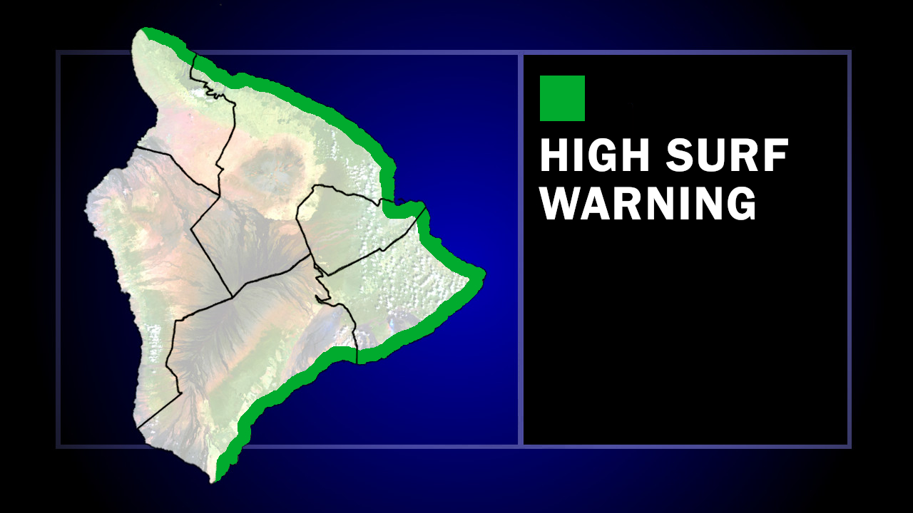

(BIVN) – The High Surf Advisory for east-facing shores of Hawaiʻi island has been upgraded to a High Surf Warning.
The National Weather Service says the building east swell from Hurricane Fausto will cause surf heights to build to warning levels today, peaking on Tuesday.
Surf heights will be 12 to 16 feet along windward shores in North Kohala, Hāmākua, Hilo, Puna, and Kaʻū.
“Stay away from the shoreline along the affected coasts,” warned the National Weather Service. “Be prepared for road closures. Postpone entering or leaving channels affected by the high surf until the surf subsides.”
The Hawaiʻi County Civil Defense agency added that beach parks may close without notice.
As of 11 a.m. HST, Fausto was still a hurricane, but was weakening. The storm was located about 500 miles east-northeast of Hilo.
The Central Pacific Hurricane Center says Fausto should pass north of the Hawaiian Islands on Tuesday night into Wednesday. “Although the current forecast indicates that the strongest winds and heaviest rainfall will remain north of the islands, interests across Hawaii should continue to monitor the progress of Fausto,” the forecasters said.
