
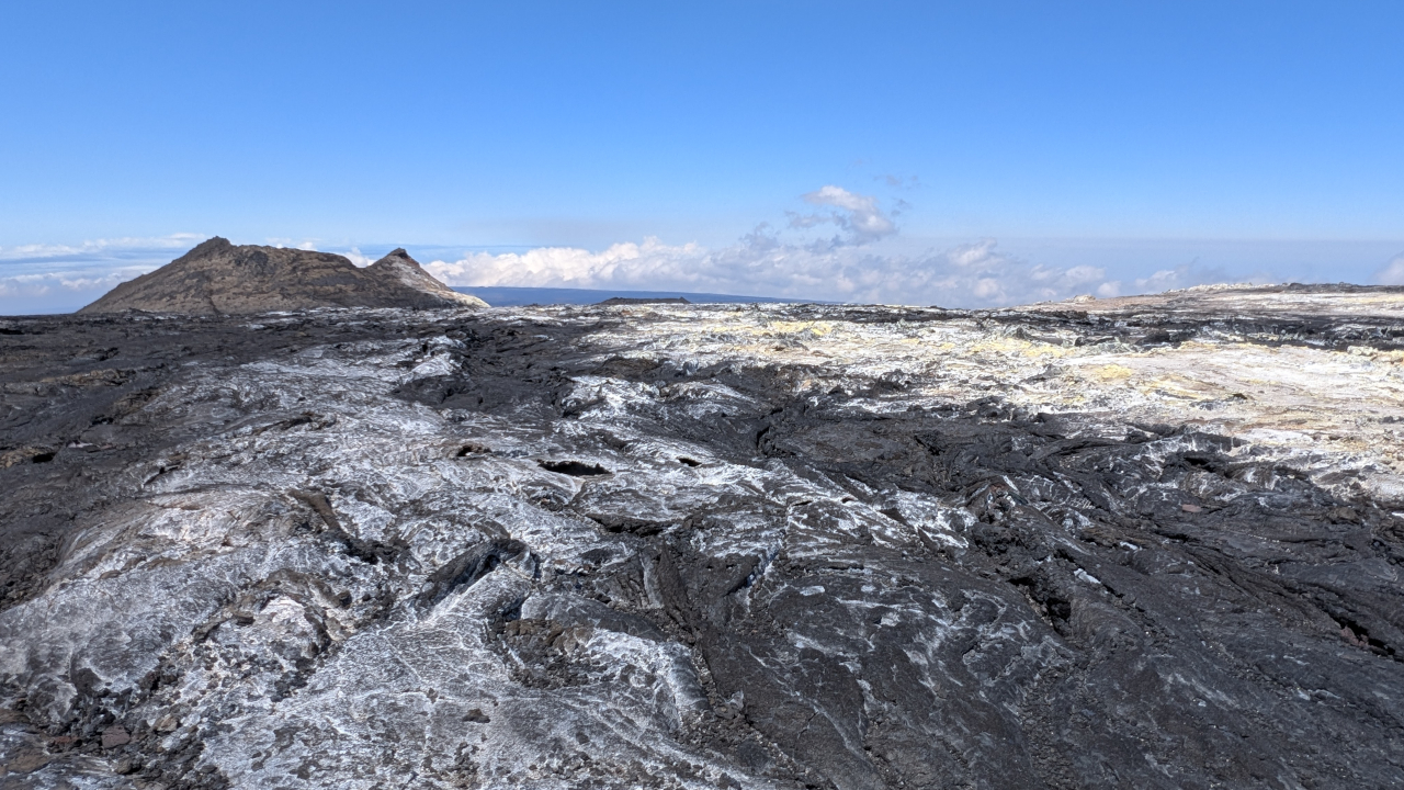

(BIVN) – The USGS Hawaiian Volcano Observatory issued its monthly update on Mauna Loa volcano for August 2026.
The USGS Volcano Alert Level is at NORMAL, and the Aviation Color Code is at GREEN. The massive Hawaiʻi island volcano is showing no signs of eruption.
Scientists report there was a decrease in seismic activity compared to the previous month. 57 earthquakes were detected in Mauna Loa’s summit region in July, after 94 were recorded in June. “Most earthquakes occurred deep beneath the upper Southwest Rift Zone or broadly scattered around the upper flanks,” the Observatory wrote. “Very few earthquakes occurred directly beneath Mokuʻāweoweo,” at the summit.
Gas and temperature data from a station on Mauna Loa’s Southwest Rift Zone are at background levels, with little change relative to previous months.
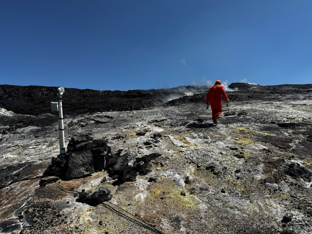
The summit region is showing patterns of slight inflation. From the USGS HVO:
Data from Global Positioning System (GPS) instruments on Mauna Loa showed slight inflation across the summit region in the past month. Most GPS stations at the summit recorded small upward vertical motions while shifting radially away from the caldera in the horizontal direction. Oscillations between contraction and inflation patterns during non-eruptive periods are normal, but inflation has been the dominant trend since the 2022 eruption, with magma refilling the summit reservoir system.
The most recent eruption of Mauna Loa was in 2022.
The USGS Hawaiian Volcano Observatory will issue another update in early September, or earlier, should conditions change significantly.
