
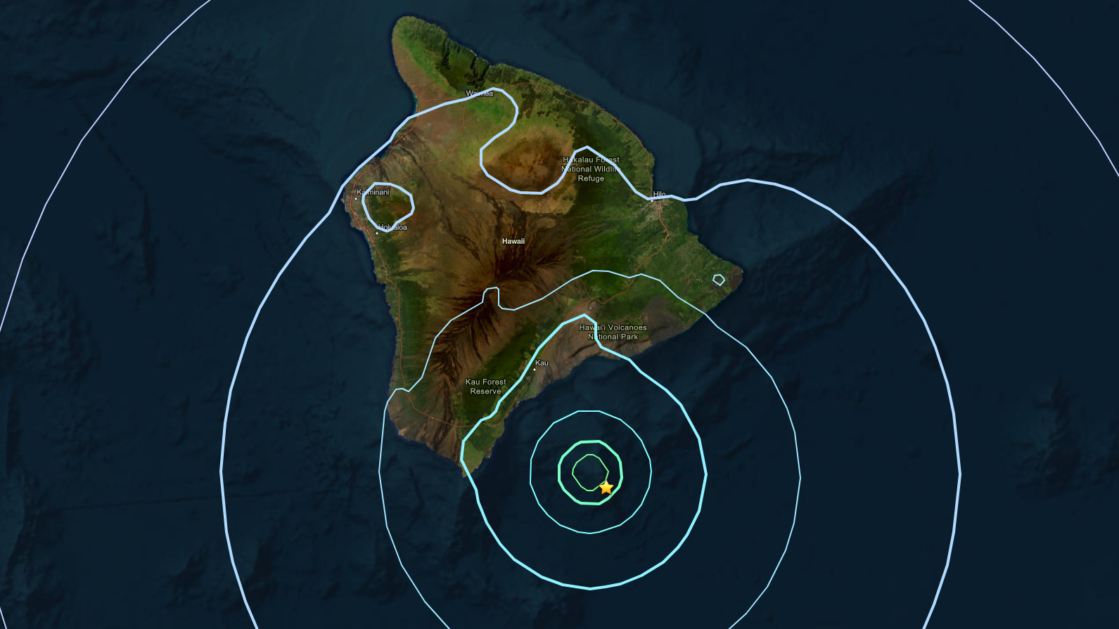

(BIVN) – A magnitude-5.2 earthquake was felt on Hawaiʻi island Tuesday evening, but it was not strong enough to cause damage or generate a tsunami.
The earthquake occurred at 5:48 p.m. and was located offshore to the south of the Big Island, beneath Kamaʻehuakanaloa volcano at a depth of 7 miles (11 km) below sea level. The location is about 26 miles east-southeast of Naʻalehu in the district of Kaʻū.
The USGS reports the earthquake was felt widely along the southern and eastern sides of Hawaiʻi island.
Earlier on Tuesday, the USGS Hawaiian Volcano Observatory reported there was a series of earthquakes in the same offshore area at around 3:30 a.m. HST, all smaller than magnitude-3.2.
UPDATE – (6:53 p.m.) – The earthquake was part of an ongoing sequence of earthquakes associated with unrest of Kamaʻehuakanaloa that started on Sunday, August 9, the Observatory said in an information statement. The earthquakes have had no apparent impact on either Mauna Loa or Kīlauea volcanoes.
From the USGS HVO:
Background: Intermittent earthquake activity has been recorded in the vicinity of Kama‘ehuakanaloa (Lō‘ihi) since as early as 1952. The most energetic earthquake sequence occurred in July-August 1996, which included more than 4,000 earthquakes, with nearly 300 events larger than M3.0 and 95 events in the M4.0 to 4.9 range. More recently, a swarm of 100 earthquakes occurred on May 11, 2020, with 18 events in the M3.0 to 3.9 range. There are no working monitoring instruments on Kama‘ehuakanaloa volcano, whose peak is about 1,000 m (3,280 ft) below sea level. All real-time information about the volcano is derived from land-based seismometers on the Island of Hawai‘i.
