
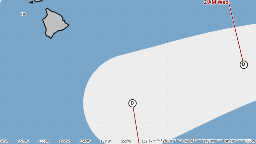

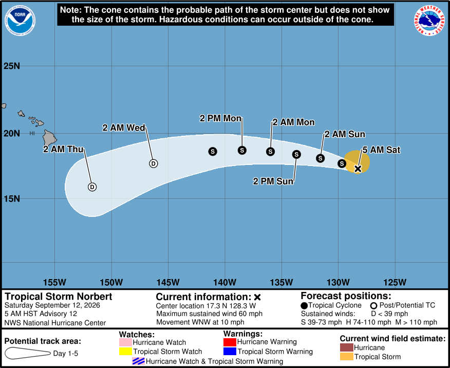
(BIVN) – The National Hurricane Center is forecasting Tropical Storm Norbert to track towards the south of Hawaiʻi, and weaken into a post-tropical remnant low as it nears the islands.
As of 5 a.m. on Saturday, Norbert was located 1,760 miles east of Hilo, moving west northwest at 10 mph. Maximum sustained winds are near 60 mph (95 km/h) with higher gusts.
By early next week, forecasters say a gradual weakening trend is expected to begin, and Norbert should degenerate into a post-tropical remnant low toward the end of next week.
From the National Hurricane Center at 5 a.m. HST:
This morning’s conventional satellite presentation consists of an amorphous blob of deep convection near the surface center that has been bursting intermittently during the past several hours. A 1132 UTC AMSR3 color composite microwave image indicated that the surface center remains near the southern edge of the convective mass. The objective and subjective intensity estimates are unchanged from 6 hours ago, and the initial intensity is set at 50 kt.
Norbert’s initial motion is estimated to be west-northwestward, or 285/9 kt, and this general motion should continue through the weekend. Afterward, a subtropical ridge to the north of the cyclone should steer Norbert in a westward heading through most of next week. There has been a shift toward the north of the majority of the skilled models from the previous advisory, which has in turn placed the forecast track in increasingly unfavorable environmental conditions. Consequently, the official track forecast has been shifted to the right of the previous one and lies close to the GDMI ensemble mean and HCCA consensus aid.
Although Norbert has been moving over warm oceanic surface temperatures, marginal moisture content in the low- to mid-levels and southerly vertical shear have been suppressing the tropical cyclone’s opportunity to strengthen significantly. In fact, only the HFIP HCCA and the Google DeepMind WeatherNext 2 (GDMI) show some strengthening during the short term. Through the remaining forecast period, because of the significant northward adjustment of the models, gradual weakening is expected beginning early next week, and Norbert should become a post-tropical remnant low early Thursday (day 4). The NHC intensity forecast follows suit and has been adjusted downward from the previous forecast beyond the 24 hours.
Norbert’s 34-kt wind radii have been expanded in the north semicircle based on a 0842 UTC OSCAT-3 scatterometer overpass.
