
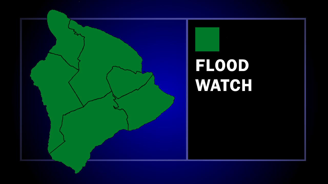

(BIVN) – The National Weather Service has issued a Flood Watch for the entire State of Hawaiʻi, as remnant moisture from former Tropical Storm Norbert arrives to the islands.
The moisture could bring periods of moderate to heavy showers to the Hawaiian Islands tonight
through Friday morning.
“There is a slight chance of thunderstorms on Thursday as well, which could produce briefly higher rain rates, increasing the risk of flash flooding,” forecasters say.
The Hawaiʻi County Civil Defense advised:
- Residents in flood prone areas should be prepared for heavy rains and potential flooding
- Be aware that road closures may occur without notice
- Do not attempt to cross flowing water in a vehicle or on foot; turn around don’t drown.
- Remember, if lightning threatens your area, the safest place to be is indoors.
From the National Weather Service discussion posted at 4 p.m. HST:
The upper level trough will dig southwest tonight into Thursday, pulling in remnant moisture from Norbert. Satellite imagery show a broad area of precipitable water in excess of 2″ beginning to move into the Big Island, and is forecast to move across the remaining islands tonight into Thursday. Deeper moisture and increasing instability will bring moderate to locally heavy showers and a slight chance of thunderstorms, with the highest threat of thunderstorms across the Big Island Thursday afternoon. Heaviest rain is expected on the windward and mauka areas. With soil moisture likely still high from previous heavy rain events, there is an increased risk of flash flooding where heavier showers and thunderstorms occur.
Moisture will decrease from east to west late Friday through the weekend. There is the potential for another round of increasing moisture from the remnants of tropical depression 15-E moving into around Tuesday to Wednesday of next week. Ensembles show at least a weak low-level wave associated with this moisture, though further aloft only 6% of the ensemble members have some form of troughing while the remainder keep us under a ridge, limiting the potential for heavier showers.
The Flood Watch will be in effect through late Thursday.
