
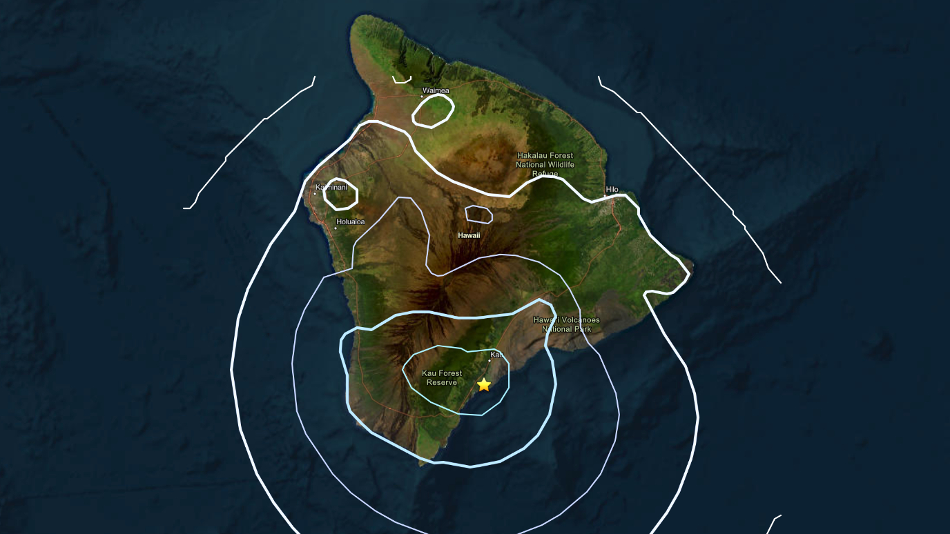

(BIVN) – A magnitude 4.1 earthquake shook the southern districts on Hawaiʻi island Thursday night.
The earthquake occurred at 8:38 p.m. and was located about 3 miles south of the town of Pāhala in the Kaʻū district. The earthquake was measured at a depth of nearly 8 miles below sea level.
The earthquake was not strong enough to generate a tsunami threat to Hawaiʻi, and likely did not cause damage to infrastructure.
The earthquake was reported felt in Kaʻū, as well as North and South Kona.
The USGS Hawaiian Volcano Observatory noted the earthquake had no apparent impact on either Mauna Loa or Kīlauea volcanoes.
This is a breaking news story that will be updated when more information becomes available.
