

(BIVN) – There are no weather advisories in effect for the State of Hawaiʻi as of 7 a.m. Friday morning. The Flood Watch for Hawaiʻi Island has been discontinued.
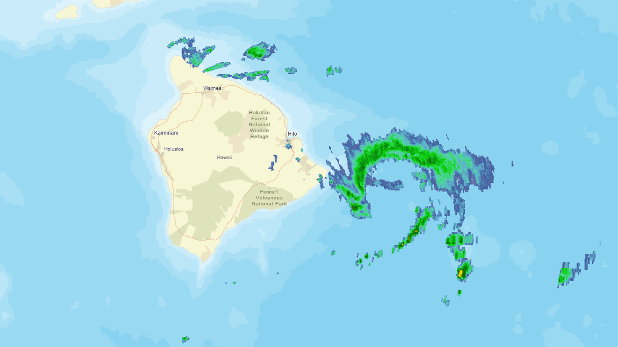
Overnight, heavy rains and some thunderstorm activity was reported over East Hawaiʻi, with particular impacts in North Kohala.
At around midnight, the Hawaiʻi Police Department announced Akoni Pule Highway was closed from Ainakea Road to Pololu Valley due to landslides and downed trees. At the time of the announcement, the stretch of highway was expected to be closed for four hours.
At around 2 a.m. HST, the National Weather Service issued a Special Marine Warning for the Puna shoreline. “At 2:03 AM HST, a severe thunderstorm capable of producing waterspouts was located over Isaac Hale Beach Park, moving east at 5 knots,” the weather alert stated. Frequent lightning was occurring with the storm.
From the National Weather Service discussion on Friday morning:
Energy within the southwest steering flow…ahead of a near stationary mid to upper level weakening low churning approximately 1,100 miles southwest of the state…has been passing across Hawaii overnight. Evidence of this was the blow up of thunderstorms over eastern Big Island`s coastal Puna District and surrounding waters early this morning. We are still under a very moist air mass of between 2.1 to 2.6 inch precipitable waters that fall in the maximum climatological categories for late October standards. 12Z soundings show a more stable column over Lihue with a weak 8k ft inversion while Hilo`s profile is much more unstable (~800 J/kg**2 MU CAPE and about 30 kt of ingested low level shear). This is to be expected by witness to the MCV-like convection that occurred over Puna and surrounding waters past midnight. Weak mid level ridging will be over the state today as the aforementioned low slowly slides off stage left. The synoptic movement of these primary players should limit any mid to upper level forcing over the islands as the energy east of low should remain well west of the state. The surface trough that has been over us the last few days has become diffuse enough to be unmentionable and recent ASCAT passes verifies that the state is under a light to moderate trade flow pattern. This moisture-rich resident air mass is going nowhere soon so expect more clouds than sun and scattered windward-focused showers through the day.
