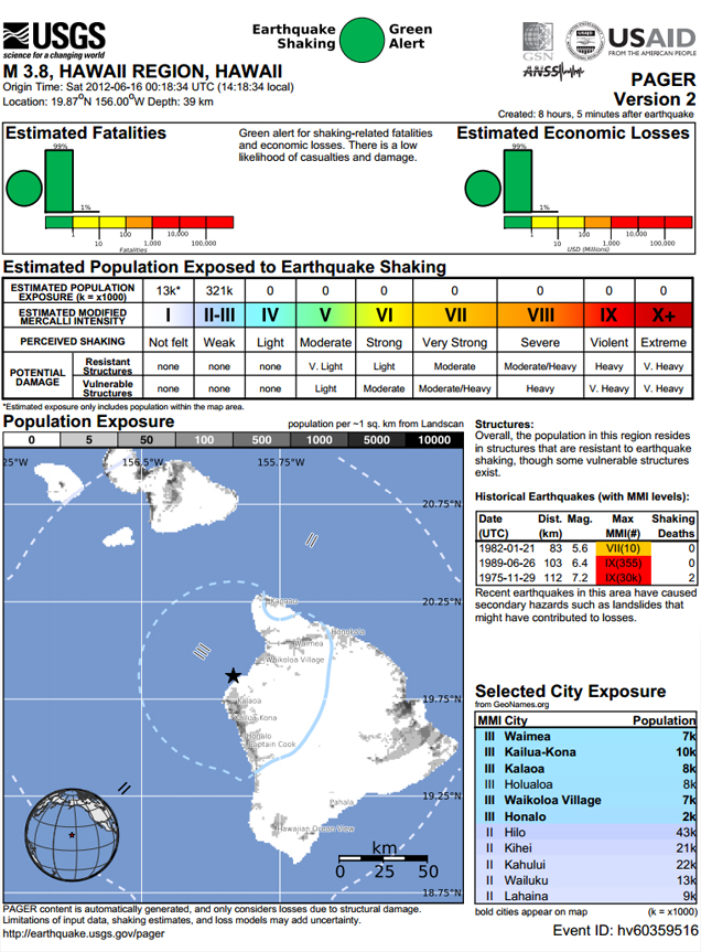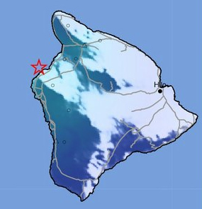
PUAKO, Hawaii: A magnitude 3.8 earthquake gave the Big Island a small shake on Friday afternoon.
According to the United States Geological Survey, the minor quake occurred at 2:18:34 PM (HST) on June 15, 2012, 15 miles north west of Hualalai Summit, and nine miles west southwest of Puako, in the waters of the Hawaii Island. The hypocentral depth was 25 miles.
USGS “Did You Feel It” data shows that weak to light shaking was felt along the Kohala Coast, from North Kohala to North Kona. No damage was reported and no tsunami was generated by the event.
The first alert calculated the quake to be a magnitude 3.7, but after a review by a seismic analyst, it was upgraded to a 3.8.