(BIVN) – Hawaiʻi island experienced a weekend of heavy rain and flooding, and the possibility of severe weather will continue later this week.
Another unstable weather pattern will develop across the Hawaiian Islands Wednesday through Friday, forecasters say, as an “unseasonably deep” kona low approaches the islands from the north.
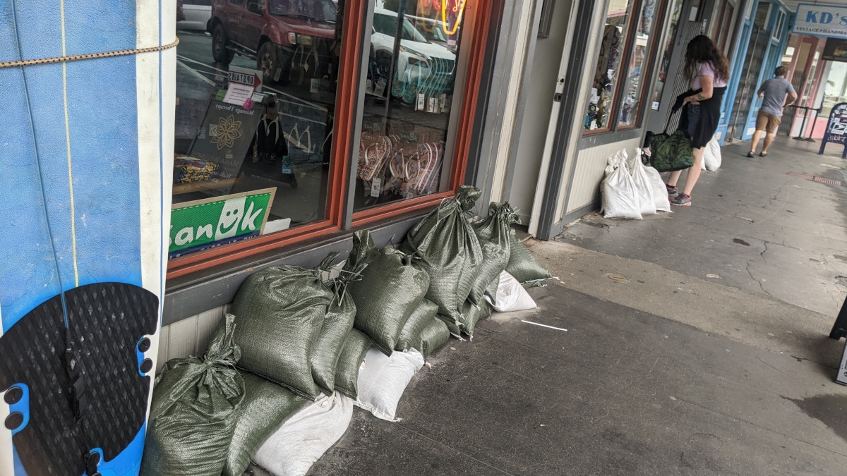
The Flood Watch that was in place for the Hawaiian islands this weekend was no longer in effect as on Sunday evening. There were a few Flood Advisories for the Big Island as heavy rain continued at times, and there could be more on the way.
According to the National Weather Service:
A cold front riding in ahead of this system will help to produce southerly kona winds over the islands starting early Wednesday morning. These southerly winds will draw up deep and unstable tropical moisture ahead of the approaching cold front. The cold front will weaken into a trough on Thursday as it merges with the tropical moisture plume right over the islands. Forecast models show both features will impact all islands during this time period.
Several threats are likely in this weather pattern from Wednesday onward including heavy rain with flooding, thunderstorms in the strong to severe range, and strong gusty winds. The severe thunderstorm threat will favor the western islands closer to the approaching surface front/trough, the upper level cold pool and the strongest wind shear. The forecast guidance over the past few days suggests these threats will last for several days from Wednesday through Friday and possibly linger into next weekend. A very wet and unstable pattern for this time of year. Stay tuned.
Meanwhile, the Hawaiʻi County Civil Defense issued a message to residents who experienced the worst of the weekend weather, such as those who suffered from flooding in North and South Kohala.
“If you sustained damage to private property or a business due to the recent storms which hit Hawaii Island please go online to the Civil Defense webpage and submit a damage report by using the attached form at hawaiicounty.gov, or call 808-935-0031,” officials said.

by Big Island Video News
on at
STORY SUMMARY
HAWAIʻI - Several threats are likely from Wednesday onward, including heavy rain with flooding, thunderstorms in the strong to severe range, and strong gusty winds.