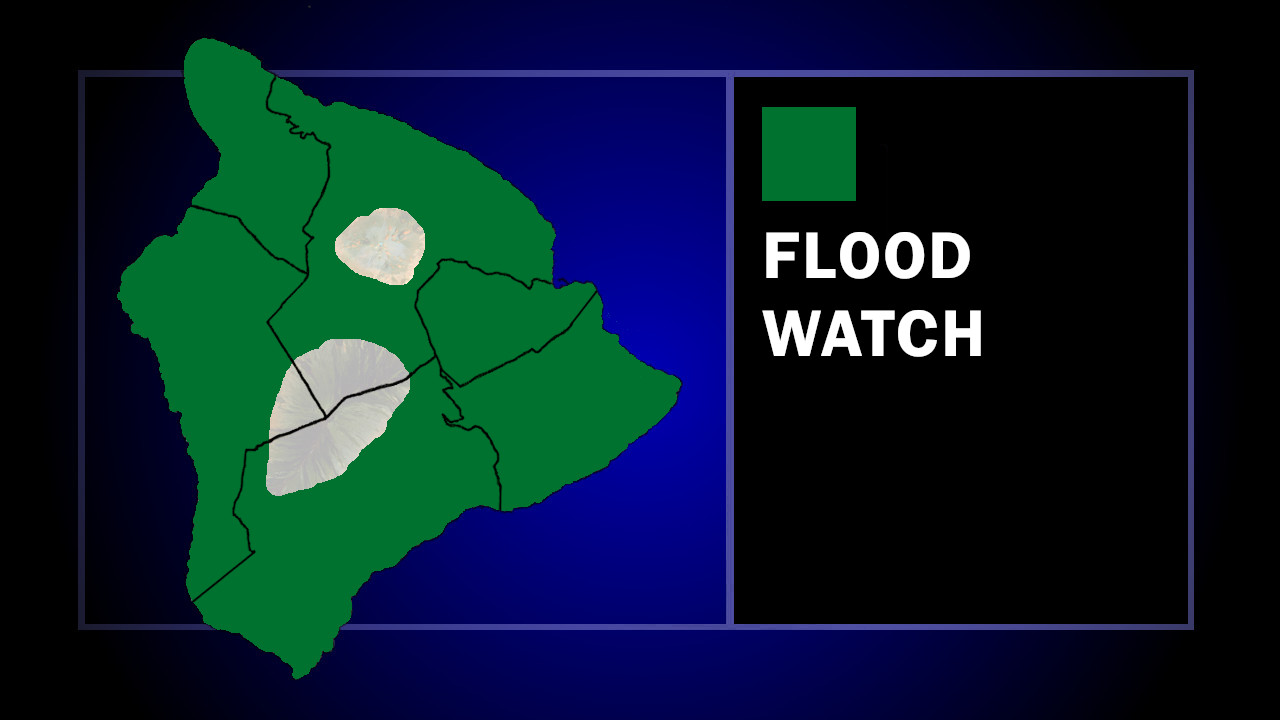
(BIVN) – A Flood Watch is in effect for the entire Island of Hawaiʻi from late Sunday/early Monday morning, through Tuesday.
A trough of low pressure to the south of the islands is bringing a plume of deep tropical moisture over the eastern end of the state, the National Weather Service reported on Sunday. “This combined with a disturbance aloft will set the stage for heavy showers and the potential for even a few thunderstorms,” the forecasters wrote. “The threat for heavy rain and flash flooding will be highest over windward portions of Maui and the Big Island.”
The island of Maui is also under a Flood Watch.
Due to the Flood Watch, the Hawaiʻi County Civil Defense advised:
- Residents in flood prone areas, please take this time to prepare for possible heavy rains and potential flooding.
- Road closures may occur without notice.
- Do not attempt to cross flowing water in a vehicle or on foot; turn around don’t drown.
- Remember, if lightning threatens your area, the safest place to be is indoors.
In a 3:38 p.m. discussion, the National Weather service wrote:
The main forecast concern in the short-term is the potential for heavy rain and flooding, particularly for windward Big Island and Maui, starting late tonight and lasting through Tuesday. A surface trough about 450 miles southeast of Hilo this afternoon can be clearly seen on visible satellite and will continue to advance towards the eastern end of the state over the next several hours. CIMSS MIMIC satellite imagery shows a broad area of 2+ inches of precipitable water around this trough. As this trough moves by to the south and its plume of moisture moves west- northwestward across the island chain tonight through Tuesday, a weak shortwave trough aloft will also set up over the state and bring increased atmospheric instability. The low level trough, deep tropical moisture, and shortwave trough aloft look to all line up and bring the best chance of heavy rain even a slight chance of thunderstorms to windward Big Island and Maui Monday through Tuesday. As such, a Flood Watch is in effect for Maui and the Big Island from late tonight through Tuesday. However, forecast confidence in the potential for flooding remains only moderate due to model discrepancies. Otherwise, the trades should strengthen a bit tonight and Monday as the surface trough passes south of the state, then weaken again on Tuesday with the approach of the next cold front…which is the next main focus of the forecast.

by Big Island Video News
on at
STORY SUMMARY
ISLAND OF HAWAIʻI - A plume of deep tropical moisture could bring heavy rains to the Big Island starting early Monday morning.