(BIVN) – Hawaiʻi County, State, and Federal agencies are conducting a joint assessment following the magnitude-6.0 earthquake that struck South Kona on May 22, 2026.
In a Wednesday news release, the State of Hawaiʻi announced the Hawaiʻi Emergency Management Agency (HIEMA) and the Federal Emergency Management Agency (FEMA) are conducting a Joint Preliminary Damage Assessment (JPDA) in coordination with the County of Hawaiʻi. The JPDA will help “validate initial damage information and determine the extent of impacts to homes, infrastructure and essential community systems following the earthquake,” officials say.
Findings from the assessment will support the state’s evaluation of whether to request federal disaster assistance, officials say.
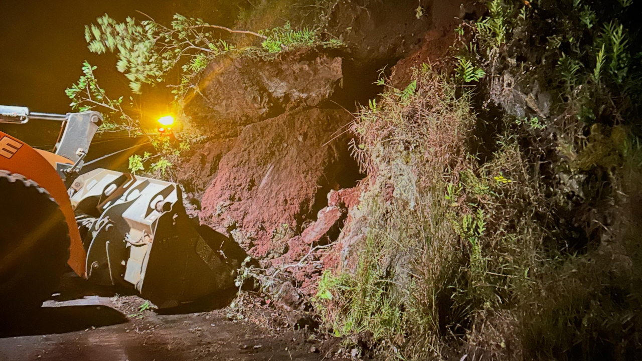
The earthquake, centered about 4 miles east-southeast of Hōnaunau along the western flank of Mauna Loa, rattled residents and caused road closures, including Highway 11. Crews with the Hawaiʻi Department of Transportation worked to clear several landslides overnight. Hawaiʻi County Mayor Kimo Alameda signed an emergency proclamation, noting the County received “approximately two hundred seven (207) damage reports concentrated in the Districts of Kaʻū, North Kona, and South Kona”.
The emergency proclamation stated that recovery “is likely to exceed the capabilities of the County acting alone, and may require assistance from other counties, the State, the federal government, or private entities to aid the County and its affected residents and businesses”.
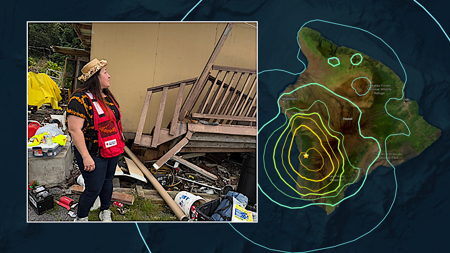
The day after the earthquake, American Red Cross Disaster Assessment teams were in the field, helping deliver support and conducting evaluations to determine the extent of damage. “To ensure coverage for all those impacted, additional Disaster Assistance volunteers from neighboring islands joined local teams on the Big Island,” the Red Cross stated in a recent news release. “In total, three Disaster Assistance teams completed nearly four dozen site surveys. Over a two-week period, thirty-three Red Cross volunteers and staff from the Big Island, Oahu, Kauai, and supporting personnel from California, Washington, and Alabama, coordinated the response efforts.”
Now, the joint assessment teams “will work with county personnel to review damaged areas, validate field information and collect the data needed to inform next steps in the recovery process,” the State says.
“A JPDA does not automatically result in a federal disaster declaration, but it is a key step in determining whether additional assistance may be warranted,” the news release stated.
“HIEMA is working closely with FEMA and Hawaiʻi County to document the full scope of damage and ensure the impacts to our communities are clearly understood,” said HIEMA Administrator James Barros. “This assessment helps inform recovery decisions and ensures we are advocating for the support communities may need.”
“Residents and businesses in impacted areas are encouraged to continue reporting damage through Hawaiʻi County’s established damage reporting process,” the State news release stated. “Accurate and timely damage information helps local, state and federal partners better understand community impacts and coordinate recovery support.”