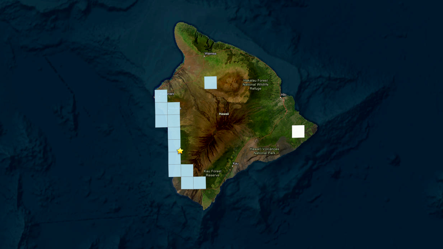
(BIVN) – A magnitude-3.1 earthquake shook the South Kona area of Hawaiʻi island on Thursday morning, in what was likely an aftershock of the magnitude-6 earthquake that occurred on May 22.
The occurred at 8:34 a.m. HST and was located 8 miles (12 km) south of Hōnaunau-Nāpōʻopoʻo, at a depth of 13 miles (21 km) below sea level.
The earthquake was not strong enough to generate a tsunami and had no apparent impact on Hualālai, Mauna Loa, or Kīlauea volcanoes.
Light shaking was reported during this event, but no damage was expected to have occurred as a result.
“Like the magnitude-6 earthquake that occurred on May 22, this event is likely related to stress from the weight of the island on the underlying rigid mantle and was not directly related to volcanic processes or magma movement,” the USGS Hawaiian Volcano Observatory said in an information statement.
Scientists say additional aftershocks are possible in the coming days to weeks.