Courtesy National Weather Service
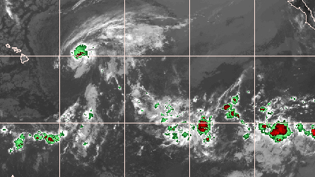
Satellite image showing Flossie approaching from the west, courtesy National Weather Service
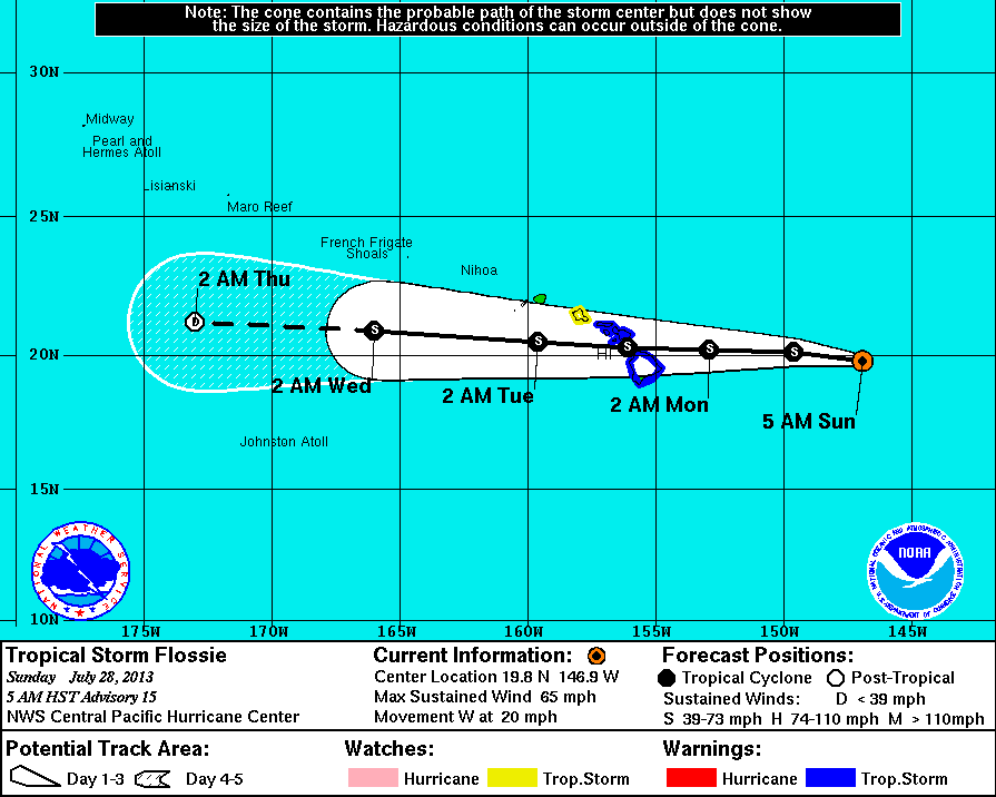
HILO, Hawaii – A Tropical Storm Warning has been in effect for Hawaii Island, Molokai, Lanai, Kahoolawe, and Maui until further notice. Tropical Storm Flossie was 535 miles east of Hilo at 5 a.m. HST and it has intensified somewhat. Sustained wind speeds are back up to 65 miles per hour now, having strengthened overnight.
Along with Tropical Storm force winds, Flossie is expected to produce total rainfall amounts of 6 to 10 inches over the Big Island and Maui county, with isolated maximum amounts of 15 inches possible, mainly windward, according to the National Weather Service. Dangerously large surf will begin to impact east facing shores of the islands as early as tonight (Sunday night) with the largest surf expected on Monday into Tuesday.
From the National Weather Service discussion posted at 5 a.m.:
 National Weather Service National Weather Service |
|
Flossie is heading west towards the Hawaiian Islands at 20 miles per hour, although its projected track appears to have edged northward a bit, which would put the center of Flossie in between Hawaii and Maui Counties on Monday afternoon. A flash flood watch has also been issued for Niihau, Kauai, Oahu, Molokai, Lanai, Kahoolawe, Maui, The Big Island until starting at 6:00 a.m. Monday and lasting until 6:00 a.m. Tuesday.
| National Weather Service |
|
Forecasters are still predicting Flossie to weaken. Again, from the NWS discussion:
| National Weather Service |
|
Meteorologists from Hawaii are explaining how Flossie will be felt on the ground starting Monday after “fresh trade winds with scattered windward and mauka showers” across the state through Sunday night:
| National Weather Service |
|
Next update around 8 a.m. HST

by Big Island Video News
on at
STORY SUMMARY
HILO, Hawaii – A Tropical Storm Warning has been in effect for Hawaii Island, Molokai, Lanai, Kahoolawe, and Maui until further notice. Tropical Storm Flossie was 535 miles east of Hilo at 5 a.m. HST and it has intensified somewhat. Sustained wind speeds are back up to 65 miles per hour now, having strengthened overnight. […]