Big Island Video News
Serving Hawaii County
by Big Island Video News on Feb 11, 2015 at 12:54 am
STORY SUMMARY
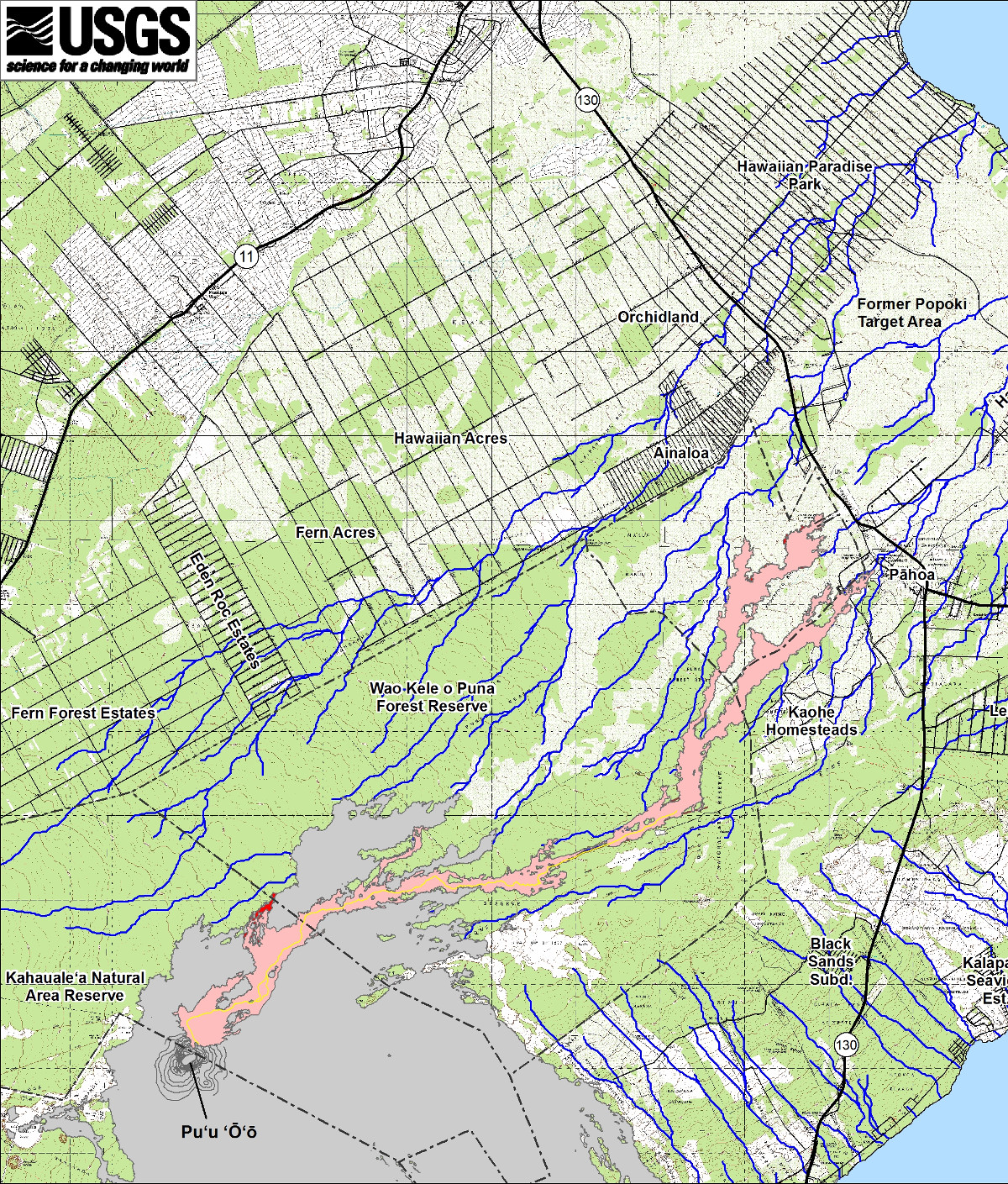
This small-scale USGS map shows Kīlauea’s active East Rift Zone lava flow in relation to lower Puna. The area of the flow on February 5 is shown in pink, while widening and advancement of the flow as of February 10 is shown in red.

by Big Island Video News
on at
STORY SUMMARY
This small-scale USGS map shows Kīlauea’s active East Rift Zone lava flow in relation to lower Puna. The area of the flow on February 5 is shown in pink, while widening and advancement of the flow as of February 10 is shown in red.