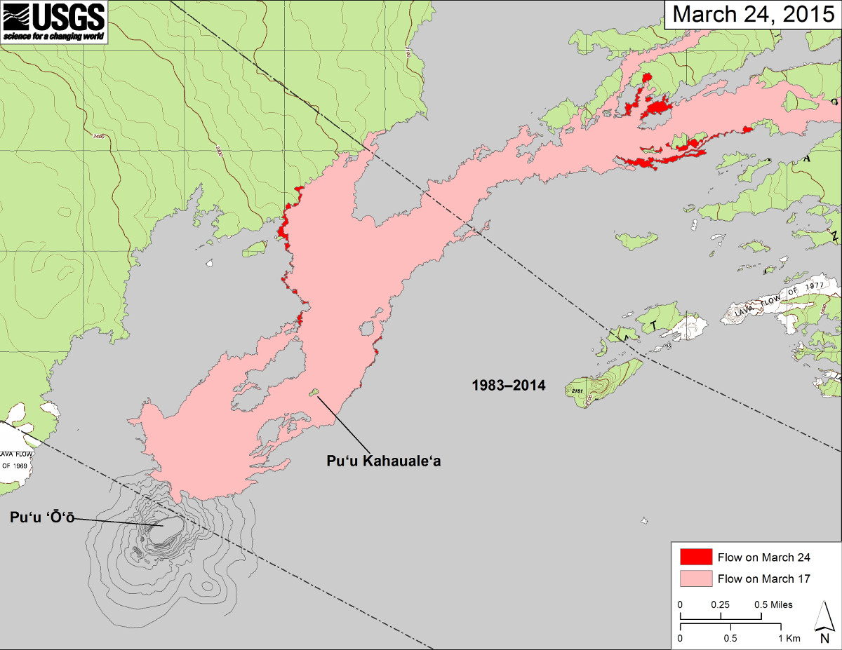
This USGS map posted March 24 shows the changes to Kīlauea’s active East Rift Zone lava flow field. The area of the flow on March 17 is shown in pink, while widening and advancement of the flow as of March 24 is shown in red. Small changes west of Puʻu Kahaualeʻa are not shown, as that part of the flow field was hidden by Puʻu ʻŌʻō’s gas plume at the time of mapping.

by Big Island Video News
on at
STORY SUMMARY
This USGS map posted March 24 shows the changes to Kīlauea’s active East Rift Zone lava flow field. The area of the flow on March 17 is shown in pink, while widening and advancement of the flow as of March 24 is shown in red. Small changes west of Puʻu Kahaualeʻa are not shown, as that part of the flow field was hidden by Puʻu ʻŌʻō’s gas plume at the time of mapping.