UPDATE (9:50 a.m.) – Hawaii County Civil Defense issued a new message Saturday morning (audio above), reporting the wharf side of Mahukona Beach Park is closed due to the high surf.
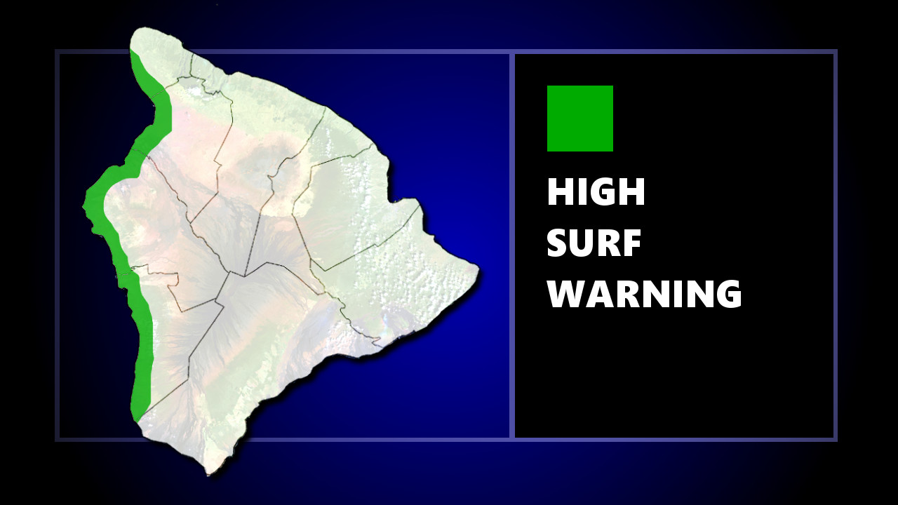
(ORIGINAL) – Weather forecasters have issued a High Surf Warning for West Hawaii shores, starting at 6 a.m. Saturday to 6 p.m. Sunday.
According to the National Weather Service in Honolulu:
A new and very large northwest swell is expected to arrive this evening and boost surf back well above warning level for most north and west facing shores of the smaller islands. The more westerly direction of this swell will allow enough energy into the Kona coast of the Big Island to include those west facing shores as well.
Hawaii County Civil Defense says surf is forecast to build through Saturday then gradually subside after Sunday. The highest threat will coincide with the high tides, which occur at 5:15 a.m. and 5:30 p.m. Saturday, and again at 6:00 a.m. Sunday.
Surf heights along west facing shores of the Big Island are expected to measure 12 to 15 feet.
“Expect ocean water surging and sweeping across beaches, coastal benches, and lava flows creating the potential for impacts to coastal properties and infrastructure, including roadways,” the National Weather Service warned. “Powerful longshore and rip currents will be present at most beaches. Large breaking waves and strong currents may impact harbor entrances and channels causing challenging boat handling.”
According to a Friday alert from Hawaii County Civil Defense:
- Oceanfront residents and beachgoers along the affected shores are advised to be on the alert for high and dangerous surf.
- Boat owners and oceanfront residents should take action to secure their property before nightfall.
- Closures of roads and beaches may occur without notice.