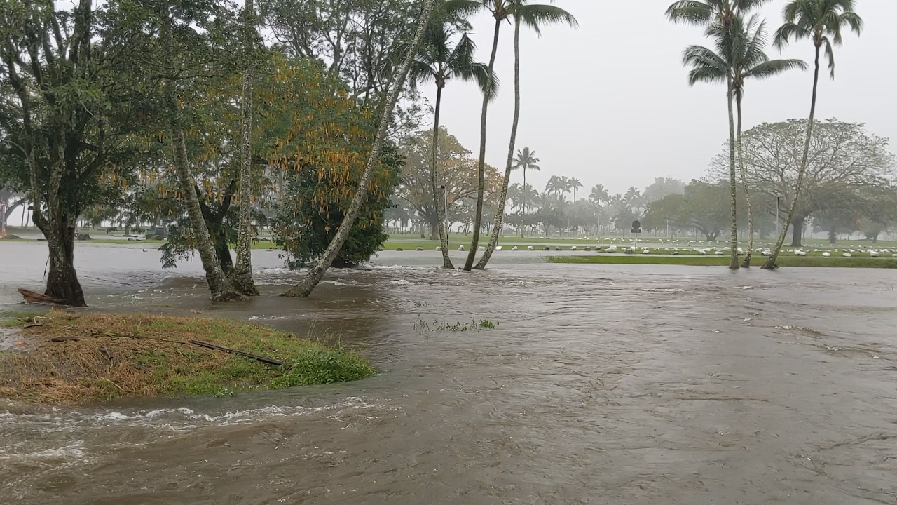
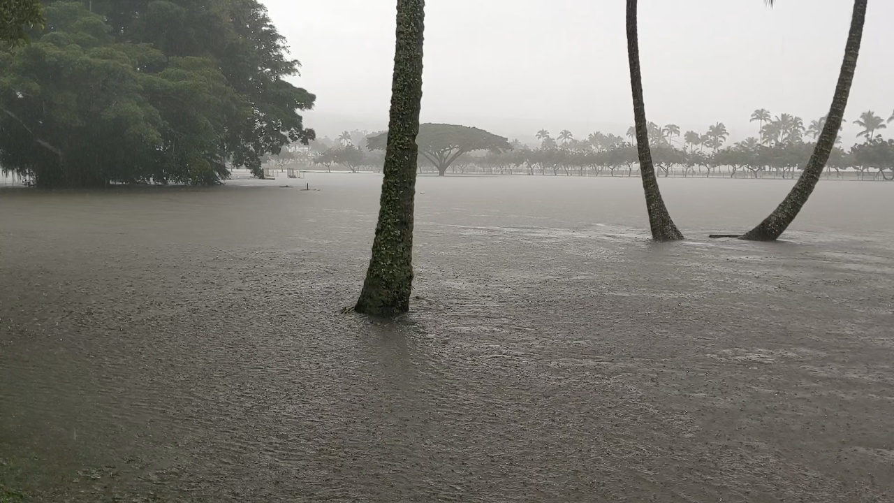
(BIVN) – Honolulu weather forecasters issued a public information statement on Tuesday, describing this weekend’s storm system as the “largest rain event for the Big Island since Hurricane Lane in August 2018.”
According to the National Weather Service:
The peak 3-day total day from Lane was 56 inches at Kahuna Falls (storm total of 58 inches). The preliminary peak flow value from Wailuku River in Hilo was 52,500 cubic feet per second (cfs) at a stage value of 21.61 feet. This was the second highest flow value in the last 30 years. Peak flow from Hurricane Lane’s rainfall was 82,300 cfs (24.40 ft stage). At Honolii Stream just north of Hilo, peak flow on the night of January 11 had a preliminary value of 14,200 cfs (17.32 ft stage), which is the fourth highest in the last 30 years. By comparison, peak flow at this site from Hurricane Lane was 19,900 cfs (19.9 ft stage).
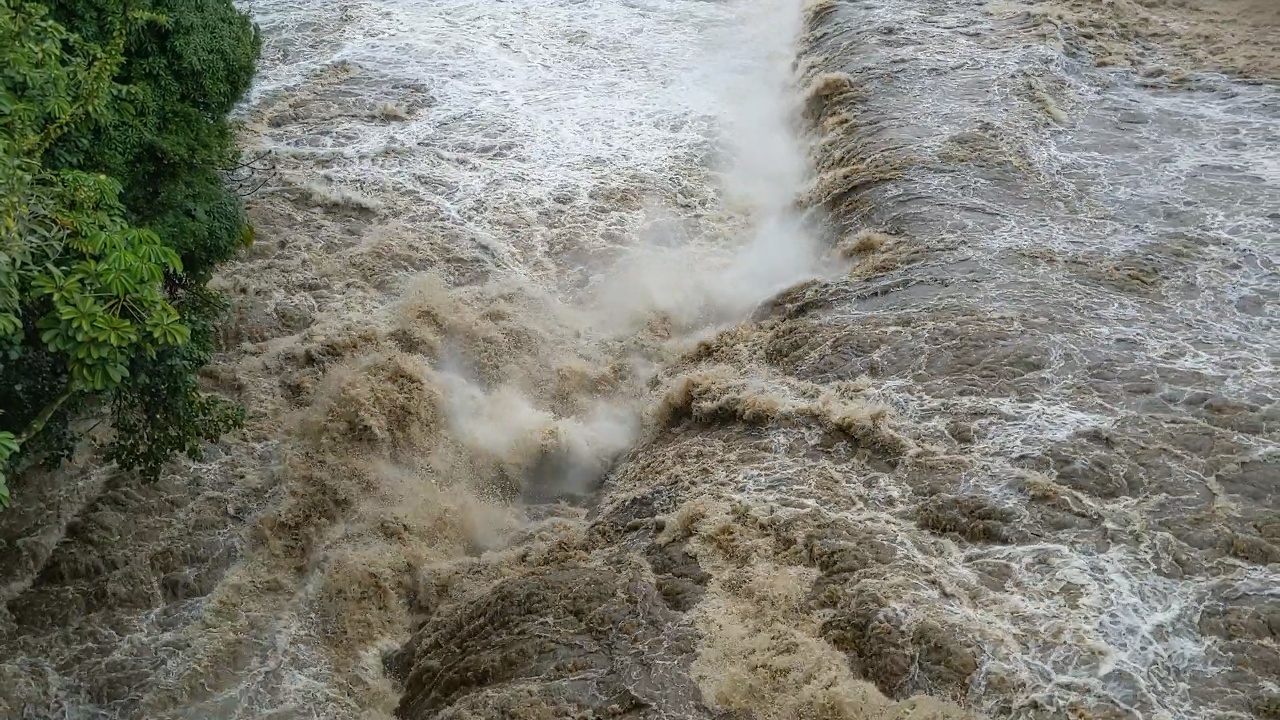
The highest rainfall in the state (from 12 p.m. HST on January 10 through 12 p.m. HST on January 13) was measured at the Saddle Road Quarry with a total of 32.59 inches.
The event was the result of a “strong upper atmospheric low pressure system combined with strong, moist low level winds”, forecasters explained. The interaction “produced torrential rainfall over portions of the main Hawaiian Islands” between Friday and Sunday.
“The worst flooding impacts occurred over the east half of the Big Island, with numerous road closures reported,” National Weather Service said. “The most intense rainfall occurred during the night of January 11 and into the early morning hours of January 12. At one point, access between the east and west sides of the Big Island was cut, with highways closed near Honokaa in the north, Kawa Flats in the south, and Saddle Road through the center. One rescue occurred when a vehicle became swamped in a flooded road in the Eden Rock area of Puna.”