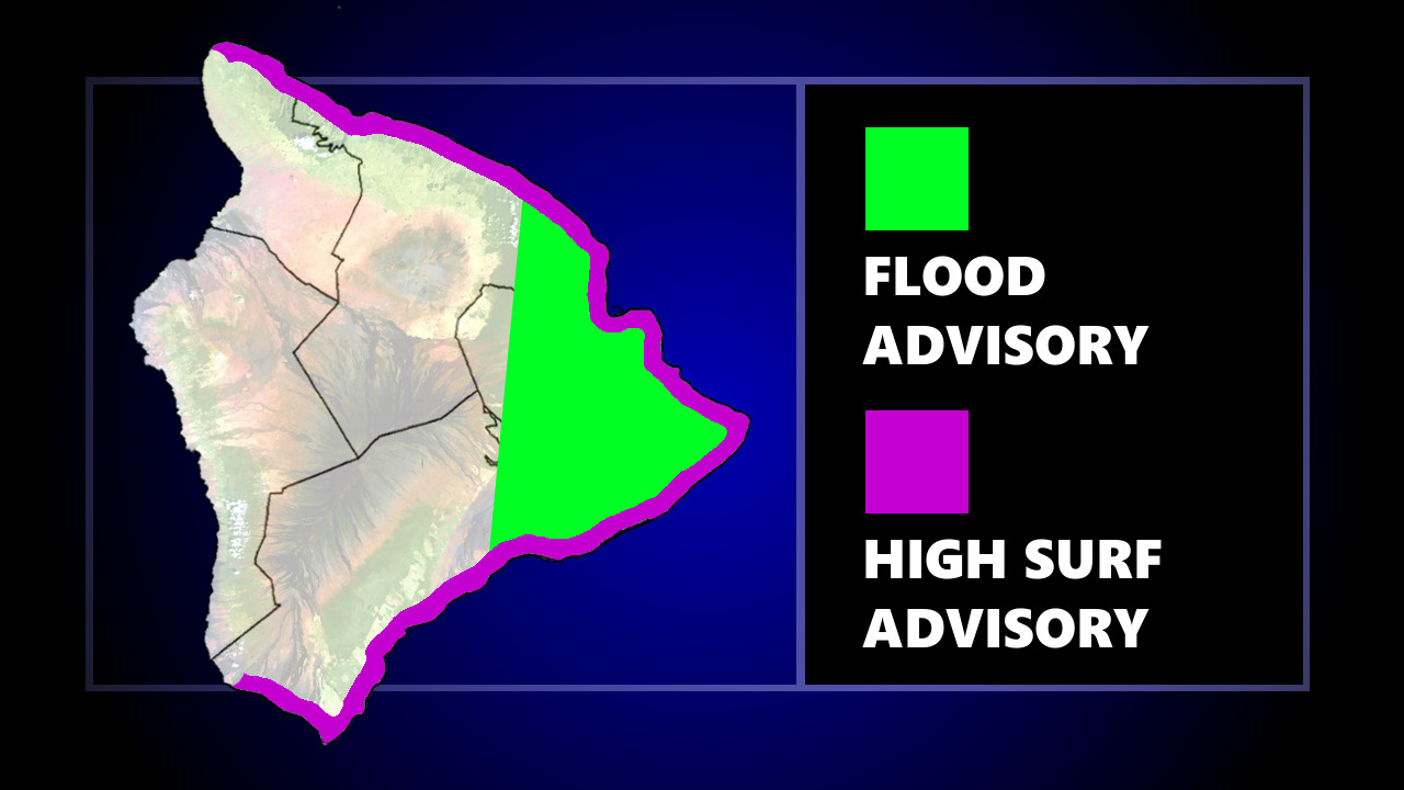
UPDATE (6:40 a.m.) – The Flood Advisory continues Tuesday morning. Hawaiʻi County Civil Defense stated:
- Residents in flood prone areas remain alert for flooding conditions.
- Stay away from streams, drainage ditches, and low-lying areas prone to flooding.
- Be on the alert for malfunctioning traffic signals. Treat flashing traffic lights as a 4-way stop.
- Rainfall and runoff may cause hazardous driving conditions due to ponding, reduced visibility, and poor braking.
- Flooding or ponding was reported this morning at Kamehameha Avenue and Pauahi Street, Railroad Avenue and Lanikalua Street, and E. Kawailani and Kamalii Street.
- Be aware that road closures may occur without notice.
(BIVN) – The National Weather Service in Honolulu issued a Flood Advisory for the island of Hawaiʻi for late Monday night into early Tuesday, as heavy rain soaked parts of East Hawaiʻi.
At 10:23 p.m. HST, forecasters wrote, “radar indicated heavy rain over the East Big Island from Laupahoehoe to Hilo to Volcano. Rain was falling at a rate of 1 to 2 inches per hour. Expect elevated water levels in local streams and water ponding on roadways.”
Locations in the advisory include but are not limited to Hilo, Hawaiian Acres, Glenwood, Pepeʻekeo, Keaʻau, Hawaiʻi Volcanoes National Park, Volcano, Orchidland Estates, Hawaiian Paradise Park, Pāhoa, Honomu and Mountain View.
A High Surf Advisory for east facing shores of the Big Island was also in effect. On Monday afternoon, forecasters said surf was expected to be 10 to 14 feet, lowering to 8 to 12 feet Tuesday.


by Big Island Video News12:25 am
on at
STORY SUMMARY
HAWAIʻI ISLAND - Affected areas include Hilo, Hawaiian Acres, Glenwood, Pepeʻekeo, Keaʻau, Hawaiʻi Volcanoes National Park, Volcano, Orchidland Estates, Hawaiian Paradise Park, Pāhoa, Honomu and Mountain View.