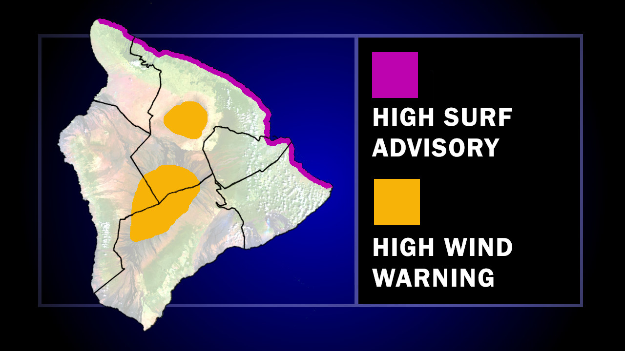
(BIVN) – A High Surf Advisory has been issued for north-facing shores of East Hawaiʻi, and a High Wind Warning is in place for the summits of Maunakea and Mauna Loa.
The National Weather Service in Honolulu said a “significant north-northwest (350 deg) swell is forecast to drive surf to advisory levels Tuesday as it peaks” around 15 to 20 feet.
The surf advisory is will be in place from 6 a.m. Tuesday to 6 a.m. HST Thursday.
Meanwhile, a High Wind Warning is in effect until 6 p.m. Wednesday, as southwest winds increase across the summits of Maunakea and Mauna Loa. “The strong winds will gradually decline on Wednesday but may remain elevated on the Big Island summits into Thursday,” the National Weather Service wrote. Winds of 50 to 70 mph at the summits will increase to 60 to 80 mph Tuesday.