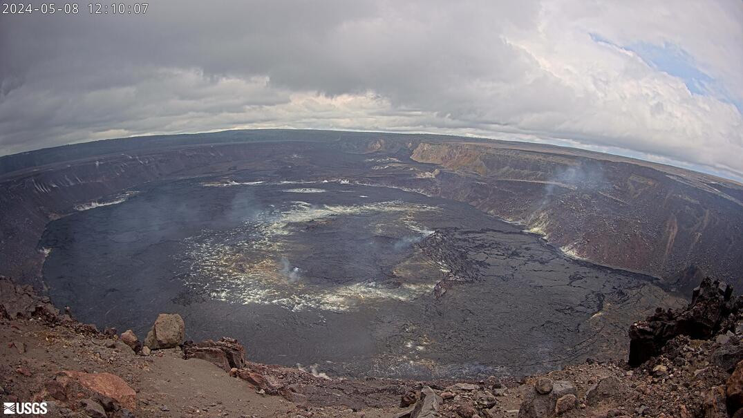
(BIVN) – Kīlauea is not erupting and the USGS Volcano Alert Level remains at ADVISORY.
Unrest continues beneath the Hawaiʻi island volcano, in the area of the upper East Rift Zone and the summit caldera south of Halemaʻumaʻu. There are no significant earthquakes occurring past the Pauahi Crater on the East Rift Zone. The elevated seismic activity is confined to the upper East Rift Zone.
As of noon on Wednesday, there were no reported closures in Hawaiʻi Volcanoes National Park due to the elevated unrest.
From the USGS Hawaiian Volcano Observatory on Wednesday, May 8th:
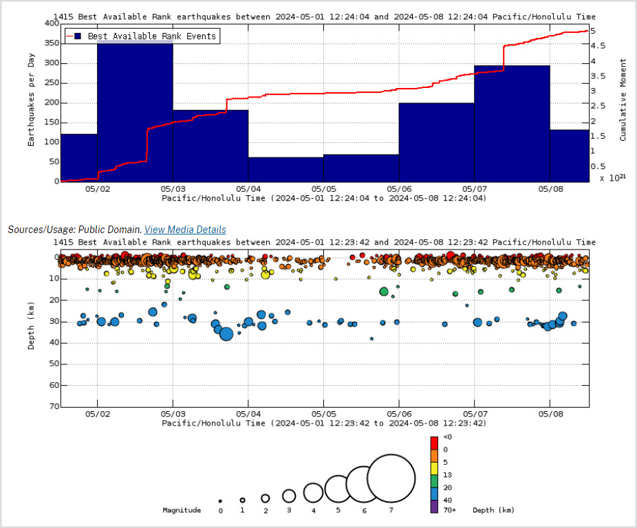
Summit and upper East Rift Zone Observations: Earthquake counts remain elevated with approximately 250 earthquakes in the past 24 hours, an increase over the preceding day. These earthquakes are clustered in the upper East Rift Zone as well as the south caldera region. Earthquake depths have averaged 2-4 km (1.2-3.1 miles) beneath the surface, and magnitudes have been mostly below M2.0, with one M3.3 yesterday morning.
Ground deformation continues beneath Halemaʻumaʻu and the south caldera region. The Uēkahuna tiltmeter continues to record inflation beneath Halemaʻumaʻu that began early Saturday morning. The tiltmeter at Sandhill continues to record uplift in the south caldera region.
Sulfur dioxide (SO2) gas emission rates remain low. An SO2 emission rate of approximately 62 tonnes per day was recorded on May 2.
Rift Zone Observations: Elevated seismic activity on the East Rift Zone is confined to the upper East Rift Zone, with no significant earthquakes occurring past the Pauahi Crater. At this time, seismicity in Kīlauea’s Southwest Rift Zone remains relatively low outside of the summit region. Measurements from continuous gas monitoring stations downwind of Puʻuʻōʻō in the middle East Rift Zone—the site of 1983–2018 eruptive activity—continue to be below detection limits for SO2, indicating that SO2 emissions from Puʻuʻōʻō are negligible.
Analysis: Magma continues to pressurize the system beneath beneath Halemaʻumaʻu and the south side of Kalaupele and Keanakākoʻi crater, activating seismicity along faults in the upper East Rift Zone. At this time, it is not possible to say whether this increase in activity will lead to an intrusion or eruption in the near future or simply continue as seismic unrest at depth. Changes in the character and location of unrest can occur quickly, as can the potential for eruption.